
1968 Map of Forbes SW
USGS Topo · Published 1970About this map
Wacker, Weber, and Hoffman names mark the land in this 1968 survey of McPherson County, reflecting a landscape defined by expansive drainage patterns and scattered depressions. This territory, situated in northern South Dakota, is characterized by a complex network of intermittent water bodies and prairie potholes that dictate the local topography. A single Gravel Pit serves as the lone indicator of industrial activity in an otherwise rural expanse, where section lines and range boundaries like R. 68 W. R. 67 W. provide the primary framework for land organization. The lack of concentrated settlements or community centers emphasizes a period of sparse, agricultural-based land use where topographical features and property lines were the defining characteristics of the region.
Find a feature on this map
7 named features on this map. Tap any name to fly to it.
Don’t see what you’re looking for? This feature index may not catch every label — zoom into the map to look around manually.
Map Details
Editions of this 1968 Forbes SW Map
This is the sole edition of this map. No revisions or reprints were ever made.
Other maps of this area

1899 · Ellendale
USGS Topo · 1:125,000

1954 · Aberdeen
USGS Topo · 1:250,000

1956 · Aberdeen
USGS Topo · 1:250,000

1968 · Long Lake SE
USGS Topo · 1:24,000

1968 · Forbes
USGS Topo · 1:24,000

1968 · Long Lake NE
USGS Topo · 1:24,000

1968 · Forbes SE
USGS Topo · 1:24,000
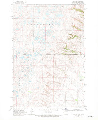
1968 · Forbes NW
USGS Topo · 1:24,000

1970 · Leola
USGS Topo · 1:24,000
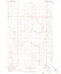
1970 · Wetonka North
USGS Topo · 1:24,000