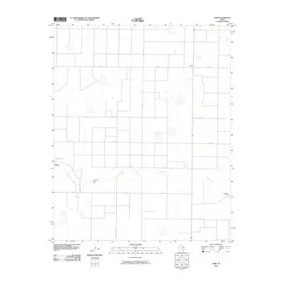
2010 Map of Ford
USGS Topo · Published 2010About this map
Palo Duro Creek meanders across this High Plains landscape, serving as the primary drainage for an area defined by agricultural development and cattle ranching. The small community of Ford is situated in the northeastern quadrant at the intersection of several county roads, while Conkwright Ranch sits to the southeast near the creek bed. Water management is a central theme of the geography here, evidenced by landmarks such as Grigsby Lake and its associated Grigsby Lake Dam, as well as the Harris and Thrush Dam. A rigid grid of transportation routes, including Tierra Blanca Rd and Great Plains Dr, facilitates movement across the Deaf Smith County panhandle, connecting remote homesteads and ranching operations to regional hubs.
Find a feature on this map
18 named features on this map. Tap any name to fly to it.
Don’t see what you’re looking for? This feature index may not catch every label — zoom into the map to look around manually.
Map Details
Editions of this 2010 Ford Map
This is the sole edition of this map. No revisions or reprints were ever made.
Other maps of this area

1954 · Tucumcari
USGS Topo · 1:250,000

1954 · Clovis
USGS Topo · 1:250,000

1958 · Clovis
USGS Topo · 1:250,000

1958 · Tucumcari
USGS Topo · 1:250,000

1965 · Everett
USGS Topo · 1:24,000

1965 · Allison Ranch
USGS Topo · 1:24,000

1966 · Overstreet Lake
USGS Topo · 1:24,000

1966 · Simms NE
USGS Topo · 1:24,000

1966 · Vega South
USGS Topo · 1:24,000

1966 · Ford
USGS Topo · 1:24,000