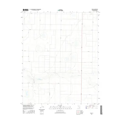
2016 Map of Ford
USGS Topo · Published 2016About this map
Palo Duro Cr cuts an east-west path across this section of Deaf Smith County, defining the primary relief in an otherwise flat agricultural landscape. The water management patterns of the modern High Plains are evident in the presence of the Harris and Thrush Reservoir and Grigsby Lake, which serve as vital catchments in this semi-arid region. The survey documents a rigorous section-line road grid, dominated by routes such as Fm 2587 and Fm 1412, which facilitate the movement of goods and equipment across the expansive plains. Local landmarks like Tierra Blanca Rd and Great Plains Dr reflect the geography and naming conventions of the Texas Panhandle. This record is particularly useful for tracking the evolution of rural property boundaries and water resource infrastructure in the early 21st century.
Find a feature on this map
15 named features on this map. Tap any name to fly to it.
Don’t see what you’re looking for? This feature index may not catch every label — zoom into the map to look around manually.
Map Details
Editions of this 2016 Ford Map
This is the sole edition of this map. No revisions or reprints were ever made.
Other maps of this area

1954 · Tucumcari
USGS Topo · 1:250,000

1954 · Clovis
USGS Topo · 1:250,000

1958 · Clovis
USGS Topo · 1:250,000

1958 · Tucumcari
USGS Topo · 1:250,000

1965 · Everett
USGS Topo · 1:24,000

1965 · Allison Ranch
USGS Topo · 1:24,000

1966 · Overstreet Lake
USGS Topo · 1:24,000

1966 · Simms NE
USGS Topo · 1:24,000

1966 · Vega South
USGS Topo · 1:24,000

1966 · Ford
USGS Topo · 1:24,000