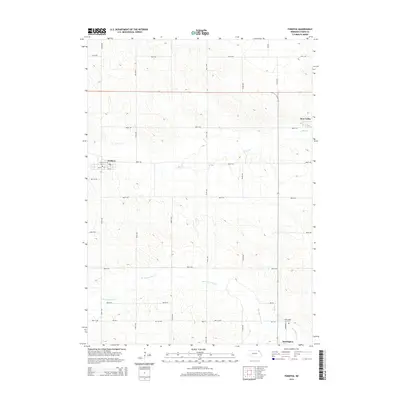
2014 Map of Fordyce
USGS Topo · Published 2014About this map
Fordyce and Hartington anchor this rural landscape in Cedar County, Nebraska, where a grid of section-line roads like 561st Ave and 887th Rd defines the agricultural layout of the early 21st century. The terrain is deeply sculpted by the drainage systems of W Bow Cr and Norwegian Bow Cr, which meander through the hills between the primary settlements. Genealogists and local historians can pinpoint the Fordyce Cem and Hartington Cem, while the small community of Bow Valley serves as a distinct landmark in the northeastern portion of the quadrangle. The map captures a moment when the regional economy remained centered on these established townships and the surrounding farmsteads that rely on the connectivity provided by the extensive local road network, including Broadway St in Hartington.
Find a feature on this map
30 named features on this map. Tap any name to fly to it.
Don’t see what you’re looking for? This feature index may not catch every label — zoom into the map to look around manually.
Map Details
Editions of this 2014 Fordyce Map
This is the sole edition of this map. No revisions or reprints were ever made.
Other maps of this area

1955 · Sioux City
USGS Topo · 1:250,000

1958 · Sioux City
USGS Topo · 1:250,000

1959 · Sioux City
USGS Topo · 1:250,000

1968 · St. Helena
USGS Topo · 1:24,000

1968 · Coleridge
USGS Topo · 1:24,000

1968 · Hartington
USGS Topo · 1:24,000

1968 · Hartington SW
USGS Topo · 1:24,000

1968 · Gavins Point Dam
USGS Topo · 1:24,000

1968 · Crofton
USGS Topo · 1:24,000

1968 · Wynot
USGS Topo · 1:24,000