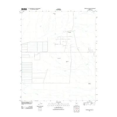
2011 Map of Forepaugh Peak
USGS Topo · Published 2011About this map
Forepaugh sits at the center of this 2011 survey, a landscape defined by its network of water tanks and high desert peaks in western Maricopa County. The terrain is dominated by significant elevations including Forepaugh Peak to the north and Sevenmile Peak near the center, with the northern reaches of the Vulture Mountains rising in the southeast. This region's reliance on water management is evident through numerous named reservoirs and catchment points like Big Pemberton Tanks, Horse Pasture Tank, and Brahma Tank, which serve the arid surroundings.
Find a feature on this map
31 named features on this map. Tap any name to fly to it.
Don’t see what you’re looking for? This feature index may not catch every label — zoom into the map to look around manually.
Map Details
Editions of this 2011 Forepaugh Peak Map
This is the sole edition of this map. No revisions or reprints were ever made.
Other maps of this area

1887 · Prescott
USGS Topo · 1:250,000

1892 · Prescott
USGS Topo · 1:250,000

1903 · Congress
USGS Topo · 1:125,000

1904 · Congress
USGS Topo · 1:125,000

1923 · Signal
USGS Topo · 1:250,000

1942 · Signal
USGS Topo · 1:250,000

1942 · Vicksburg
USGS Topo · 1:250,000

1950 · Prescott
USGS Topo · 1:250,000

1954 · Prescott
USGS Topo · 1:250,000

1954 · Phoenix
USGS Topo · 1:250,000