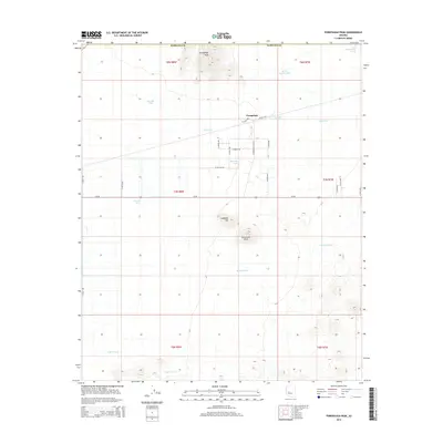
2014 Map of Forepaugh Peak
USGS Topo · Published 2014About this map
Forepaugh sits at the junction of several local desert roads and the prominent Us-60 highway, serving as a focal point in this arid section of Maricopa County. The landscape is defined by its water management systems, essential for ranching or survival in the high desert, as evidenced by a network of named tanks such as Joanette Tank, Janie Tank, and Big Pimberton Tanks. These features imply a history of pastoral land use where water sources were carefully tracked and named.
Find a feature on this map
37 named features on this map. Tap any name to fly to it.
Don’t see what you’re looking for? This feature index may not catch every label — zoom into the map to look around manually.
Map Details
Editions of this 2014 Forepaugh Peak Map
This is the sole edition of this map. No revisions or reprints were ever made.
Other maps of this area

1887 · Prescott
USGS Topo · 1:250,000

1892 · Prescott
USGS Topo · 1:250,000

1903 · Congress
USGS Topo · 1:125,000

1904 · Congress
USGS Topo · 1:125,000

1923 · Signal
USGS Topo · 1:250,000

1942 · Signal
USGS Topo · 1:250,000

1942 · Vicksburg
USGS Topo · 1:250,000

1950 · Prescott
USGS Topo · 1:250,000

1954 · Prescott
USGS Topo · 1:250,000

1954 · Phoenix
USGS Topo · 1:250,000