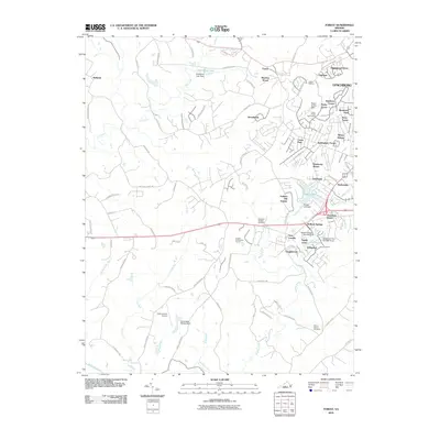
2010 Map of Forest
USGS Topo · Published 2010About this map
The community of Forest and its surrounding suburbs in Bedford County represent a landscape of residential growth and established recreation. This map details numerous planned developments such as Rainbow Forest, Nottingham Forest, and Federal Hill Estates, alongside the greens of the Poplar Forest Golf Course and London Downs Golf Course. The area's geography is defined by a series of impoundments and waterways, including Timber Lake, Old Elkton Lake, and the meandering Buffalo Creek. Local history is anchored by sites like the Callaway-Steptoe Cemetery and the New London Airport near the historic crossroads of New London. To the west, the terrain transitions toward the Bellevue area, while the southern boundary follows the Big Otter River. The concentration of dams, from the Associated Wheels Dam to Wildwood Dam Number Three, illustrates the management of the local watershed to support these sprawling residential and recreational corridors.
Find a feature on this map
87 named features on this map. Tap any name to fly to it.
Don’t see what you’re looking for? This feature index may not catch every label — zoom into the map to look around manually.
Map Details
Editions of this 2010 Forest Map
This is the sole edition of this map. No revisions or reprints were ever made.
Other maps of this area

1892 · Lynchburg
USGS Topo · 1:125,000

1944 · Lynchburg
USGS Topo · 1:62,500

1947 · Roanoke
USGS Topo · 1:250,000

1950 · Goode
USGS Topo · 1:62,500

1950 · Lynchburg
USGS Topo · 1:62,500

1951 · Altavista
USGS Topo · 1:62,500

1956 · Gladys
USGS Topo · 1:62,500

1959 · Roanoke
USGS Topo · 1:250,000

1963 · Roanoke
USGS Topo · 1:250,000

1963 · City Farm
USGS Topo · 1:24,000