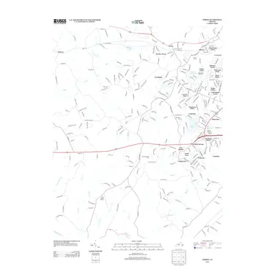
2013 Map of Forest
USGS Topo · Published 2013About this map
Poplar Forest and the surrounding Bedford County landscape appear here in a period of significant residential development west of Lynchburg. The terrain is defined by the headwaters of the Big Otter River and the meandering paths of Buffalo Cr and Elk Cr. Established communities like New London and Bedford Springs are surrounded by a dense network of suburban subdivisions including Timberlake, Wildwood, and Nottingham Forest.
Find a feature on this map
240 named features on this map. Tap any name to fly to it.
Don’t see what you’re looking for? This feature index may not catch every label — zoom into the map to look around manually.
Map Details
Editions of this 2013 Forest Map
This is the sole edition of this map. No revisions or reprints were ever made.
Other maps of this area

1892 · Lynchburg
USGS Topo · 1:125,000

1944 · Lynchburg
USGS Topo · 1:62,500

1947 · Roanoke
USGS Topo · 1:250,000

1950 · Goode
USGS Topo · 1:62,500

1950 · Lynchburg
USGS Topo · 1:62,500

1951 · Altavista
USGS Topo · 1:62,500

1956 · Gladys
USGS Topo · 1:62,500

1959 · Roanoke
USGS Topo · 1:250,000

1963 · Roanoke
USGS Topo · 1:250,000

1963 · City Farm
USGS Topo · 1:24,000