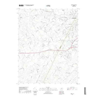
2019 Map of Forest
USGS Topo · Published 2019About this map
Poplar Forest and the historical crossing at New London anchor this landscape along the border of Bedford Co and Campbell Co. The terrain is defined by the drainage of Buffalo Cr and Lick Run as they flow toward the Big Otter River in the south. The proximity to Lynchburg is evident in the residential growth around Forest, while landmarks like Mount Moriah Cem and Steptoe Cem preserve the genealogy of the region's early estates.
Find a feature on this map
183 named features on this map. Tap any name to fly to it.
Don’t see what you’re looking for? This feature index may not catch every label — zoom into the map to look around manually.
Map Details
Editions of this 2019 Forest Map
This is the sole edition of this map. No revisions or reprints were ever made.
Other maps of this area

1892 · Lynchburg
USGS Topo · 1:125,000

1944 · Lynchburg
USGS Topo · 1:62,500

1947 · Roanoke
USGS Topo · 1:250,000

1950 · Goode
USGS Topo · 1:62,500

1950 · Lynchburg
USGS Topo · 1:62,500

1951 · Altavista
USGS Topo · 1:62,500

1956 · Gladys
USGS Topo · 1:62,500

1959 · Roanoke
USGS Topo · 1:250,000

1963 · Roanoke
USGS Topo · 1:250,000

1963 · City Farm
USGS Topo · 1:24,000