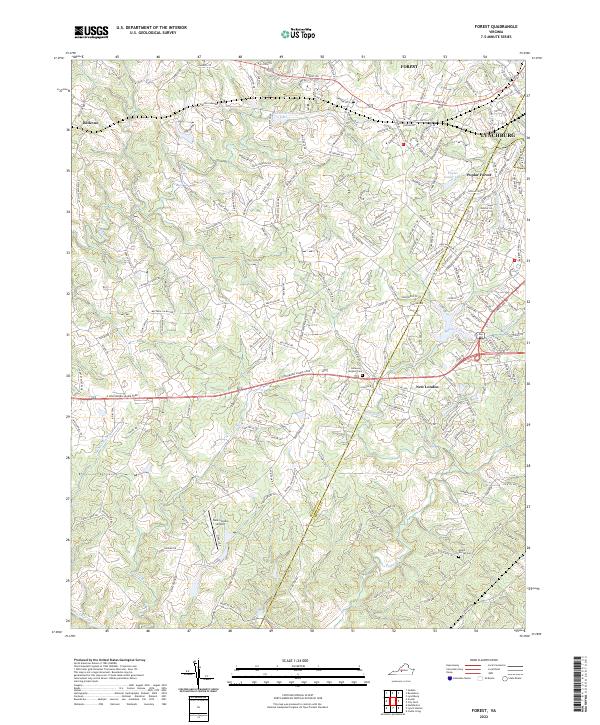
2022 Map of Forest
USGS Topo · Published 2022About this map
Poplar Forest serves as a significant historical anchor in this region west of Lynchburg, where the suburban landscape meets the rolling foothills of the Blue Ridge. The map traces the historical path of the E Lynchburg Salem Tpke, a primary artery that historically connected these Piedmont settlements. To the south, the village of New London and the adjacent New London Airport mark a transition toward more open terrain near the Bedford and Campbell County boundary.
Find a feature on this map
20 named features on this map. Tap any name to fly to it.
Don’t see what you’re looking for? This feature index may not catch every label — zoom into the map to look around manually.
Map Details
Editions of this 2022 Forest Map
This is the sole edition of this map. No revisions or reprints were ever made.
Other maps of this area

1892 · Lynchburg
USGS Topo · 1:125,000

1944 · Lynchburg
USGS Topo · 1:62,500

1947 · Roanoke
USGS Topo · 1:250,000

1950 · Goode
USGS Topo · 1:62,500

1950 · Lynchburg
USGS Topo · 1:62,500

1951 · Altavista
USGS Topo · 1:62,500

1956 · Gladys
USGS Topo · 1:62,500

1959 · Roanoke
USGS Topo · 1:250,000

1963 · Roanoke
USGS Topo · 1:250,000

1963 · City Farm
USGS Topo · 1:24,000