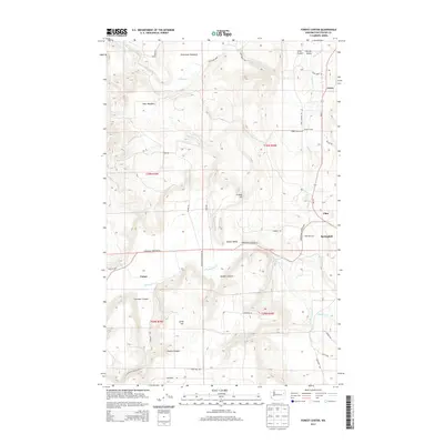
2014 Map of Forest Center
USGS Topo · Published 2014About this map
The Colville River corridor in Stevens County defines this 2014 survey, highlighting the valley's established rural settlements and agricultural stretches. Springdale serves as a primary hub in the east, situated near the intersection of Wa-231 and Springdale Hunters Rd. The map illustrates a landscape of high meadows and deep canyons, where Haverland Meadows and Deer Meadow contrast with the rugged descents of Hooker Canyon and Sorenson Canyon. Small residential clusters like Grays, Cline, and the name-bearing Forest Center are linked by a network of local thoroughfares including Long Prairie Rd and Lumberg Rd. Notable landmarks for researchers include Lyons Hill and the drainage of Chamokane Cr, which winds through the southern portion of the quadrangle near the settlement of Camas.
Find a feature on this map
43 named features on this map. Tap any name to fly to it.
Don’t see what you’re looking for? This feature index may not catch every label — zoom into the map to look around manually.
Map Details
Editions of this 2014 Forest Center Map
This is the sole edition of this map. No revisions or reprints were ever made.
Other maps of this area

1927 · Chewelah
USGS Topo · 1:125,000

1930 · Chewelah
USGS Topo · 1:125,000

1944 · Clayton
USGS Topo · 1:62,500

1944 · Wellpinit
USGS Topo · 1:62,500

1950 · Clayton
USGS Topo · 1:62,500

1953 · Wellpinit
USGS Topo · 1:62,500

1955 · Spokane
USGS Topo · 1:250,000

1958 · Spokane
USGS Topo · 1:250,000

1958 · Sandpoint
USGS Topo · 1:250,000

1963 · Sandpoint
USGS Topo · 1:250,000