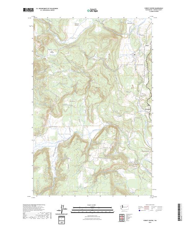
2023 Map of Forest Center
USGS Topo · Published 2023About this map
Springdale and the surrounding Stevens County uplands are defined by a complex network of creeks and valley meadows in this contemporary survey. The landscape transitions from the riparian corridor of the Colville River and Sheep Creek in the northeast to the broad expanse of Camas Valley in the southwest. Local history is anchored by the Forest Center Cem and the small settlements of Grays, Boyles, and Cline, which trace the path of historic transport and early 20th-century development along the eastern edge of the quadrangle.
Find a feature on this map
46 named features on this map. Tap any name to fly to it.
Don’t see what you’re looking for? This feature index may not catch every label — zoom into the map to look around manually.
Map Details
Editions of this 2023 Forest Center Map
This is the sole edition of this map. No revisions or reprints were ever made.
Other maps of this area

1927 · Chewelah
USGS Topo · 1:125,000

1930 · Chewelah
USGS Topo · 1:125,000

1944 · Clayton
USGS Topo · 1:62,500

1944 · Wellpinit
USGS Topo · 1:62,500

1950 · Clayton
USGS Topo · 1:62,500

1953 · Wellpinit
USGS Topo · 1:62,500

1955 · Spokane
USGS Topo · 1:250,000

1958 · Spokane
USGS Topo · 1:250,000

1958 · Sandpoint
USGS Topo · 1:250,000

1963 · Sandpoint
USGS Topo · 1:250,000