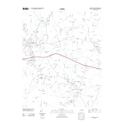
2013 Map of Forest City
USGS Topo · Published 2013About this map
The Second Broad River meanders through this section of Rutherford County, carving a path between historic mill towns and rural crossroads. The larger center of Forest City anchors the western edge, while smaller communities like Alexander Mills, Caroleen, Avondale, and Henrietta line the river and rail corridors. These settlements, often founded on textile manufacturing, remain connected by a dense network of secondary roads and local routes.
Find a feature on this map
322 named features on this map. Tap any name to fly to it.
Don’t see what you’re looking for? This feature index may not catch every label — zoom into the map to look around manually.
Map Details
Editions of this 2013 Forest City Map
This is the sole edition of this map. No revisions or reprints were ever made.
Other maps of this area

1909 · Gaffney
USGS Topo · 1:62,500

1950 · Shelby
USGS Topo · 1:62,500

1953 · Charlotte
USGS Topo · 1:250,000

1954 · Charlotte
USGS Topo · 1:250,000

1959 · Cowpens
USGS Topo · 1:62,500

1960 · Charlotte
USGS Topo · 1:250,000

1962 · Charlotte
USGS Topo · 1:250,000
1965 · Sunshine
USGS Topo · 1:24,000
1966 · Rutherfordton North
USGS Topo · 1:24,000

1966 · Forest City
USGS Topo · 1:24,000