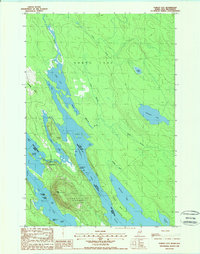
1988 Map of Forest City
USGS Topo · Published 1988About this map
Forest City sits at the literal edge of the international boundary, anchoring a landscape where the St Croix River and the sprawling Chiputneticook Lakes system define the border between Maine and New Brunswick. This late-twentieth-century survey captures the community and its critical transit points, including the US Border Entr and the Forest City Landing. The map illustrates a region deeply connected to the water, where Spednic Lake and Mud Lake provide a complex series of coves and islands such as Treasure Island and Manley Island.
Find a feature on this map
37 named features on this map. Tap any name to fly to it.
Don’t see what you’re looking for? This feature index may not catch every label — zoom into the map to look around manually.
Map Details
Editions of this 1988 Forest City Map
This is the sole edition of this map. No revisions or reprints were ever made.
Other maps of this area

1940 · Danforth
USGS Topo · 1:62,500

1940 · Amity
USGS Topo · 1:62,500

1940 · Forest
USGS Topo · 1:62,500

1941 · Danforth
USGS Topo · 1:62,500

1941 · Amity
USGS Topo · 1:62,500

1942 · Forest
USGS Topo · 1:62,500

1943 · Danforth
USGS Topo · 1:62,500

1943 · Amity
USGS Topo · 1:62,500

1957 · Fredericton
USGS Topo · 1:250,000
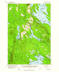
1958 · Danforth
USGS Topo · 1:62,500