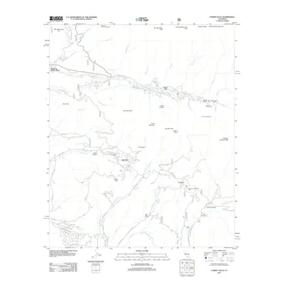
2012 Map of Forest Falls
USGS Topo · Published 2012About this map
Forest Falls and Mountain Home Village occupy the steep canyon floor along Valley of the Falls Dr, where high-elevation creeks like Falls Cr and Monkeyface Cr descend toward the San Gorgonio River. This area is defined by its recreation and conservation history, featuring the Falls Recreation Area and the Oak Glen Conservation Camp. In the southern portion of the map, Oak Glen is situated near Potato Canyon, surrounded by a network of drainage systems including Little San Gorgonio Cr and Wallace Cr. The presence of the Pine Powerhouse in Gilman Canyon suggests the utility infrastructure necessary for these mountain communities. Trails and access points, such as the Vivian Creek Trailhead and Big Falls Trailhead, provide a view into how the wilderness surrounding San Bernardino Mountain was navigated in the early 21st century.
Find a feature on this map
88 named features on this map. Tap any name to fly to it.
Don’t see what you’re looking for? This feature index may not catch every label — zoom into the map to look around manually.
Map Details
Editions of this 2012 Forest Falls Map
This is the sole edition of this map. No revisions or reprints were ever made.
Other maps of this area

1899 · Redlands
USGS Topo · 1:62,500

1901 · Southern California Sheet No. 1
USGS Topo · 1:250,000

1901 · San Jacinto
USGS Topo · 1:125,000

1901 · Redlands
USGS Topo · 1:62,500

1901 · Elsinore
USGS Topo · 1:125,000

1902 · San Gorgonio
USGS Topo · 1:125,000

1904 · Southern California Sheet No. 1
USGS Topo · 1:250,000

1942 · Banning
USGS Topo · 1:62,500

1942 · Perris
USGS Topo · 1:62,500

1943 · Perris
USGS Topo · 1:62,500