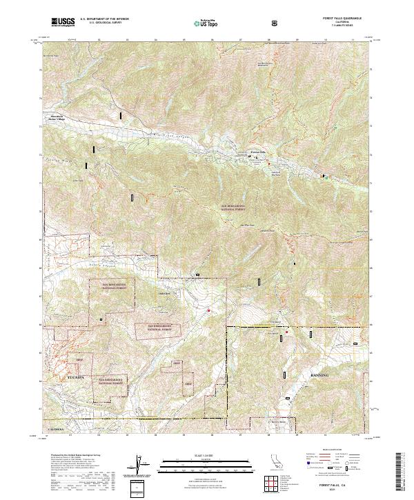
2021 Map of Forest Falls
USGS Topo · Published 2021About this map
Mountain Home Village and Forest Falls anchor this 2021 study of the high-elevation communities within the San Bernardino National Forest. The map documents a rugged interface where steep peaks like San Bernardino East Peak and Anderson Peak tower over residential pockets along Mill Creek Canyon. Settlement patterns are concentrated in the canyon floors and on unique geological benches, such as Pine Bench and Banning Bench, while the southern reaches descend toward the northern limits of Yucaipa and Banning.
Find a feature on this map
91 named features on this map. Tap any name to fly to it.
Don’t see what you’re looking for? This feature index may not catch every label — zoom into the map to look around manually.
Map Details
Editions of this 2021 Forest Falls Map
This is the sole edition of this map. No revisions or reprints were ever made.
Other maps of this area

1899 · Redlands
USGS Topo · 1:62,500

1901 · Southern California Sheet No. 1
USGS Topo · 1:250,000

1901 · San Jacinto
USGS Topo · 1:125,000

1901 · Redlands
USGS Topo · 1:62,500

1901 · Elsinore
USGS Topo · 1:125,000

1902 · San Gorgonio
USGS Topo · 1:125,000

1904 · Southern California Sheet No. 1
USGS Topo · 1:250,000

1942 · Banning
USGS Topo · 1:62,500

1942 · Perris
USGS Topo · 1:62,500

1943 · Perris
USGS Topo · 1:62,500