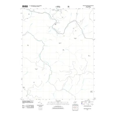
2011 Map of Fork Mountain
USGS Topo · Published 2011About this map
North Bend and the surrounding highlands of Greenbrier County are defined by the convergence of the North Fork Cherry River and the South Fork Cherry River. The landscape is a network of ridges and watercourses, anchored by the recreational hub at Summit Lake, which includes the Summit Lake Dam and Summit Lake Campground. This area of the Monongahela National Forest transition is marked by numerous high points with local lineage, including Bearwallow Knob, Rockcamp Knob, and Manning Knob.
Find a feature on this map
49 named features on this map. Tap any name to fly to it.
Don’t see what you’re looking for? This feature index may not catch every label — zoom into the map to look around manually.
Map Details
Editions of this 2011 Fork Mountain Map
This is the sole edition of this map. No revisions or reprints were ever made.
Other maps of this area

1889 · Nicholas
USGS Topo · 1:125,000

1891 · Nicholas
USGS Topo · 1:125,000

1891 · Huntersville
USGS Topo · 1:125,000

1894 · Huntersville
USGS Topo · 1:125,000

1901 · Nicholas
USGS Topo · 1:125,000

1915 · Webster Springs
USGS Topo · 1:48,000

1915 · Cowen
USGS Topo · 1:48,000

1917 · Cowen
USGS Topo · 1:62,500

1918 · Webster Springs
USGS Topo · 1:62,500

1918 · Richwood
USGS Topo · 1:62,500