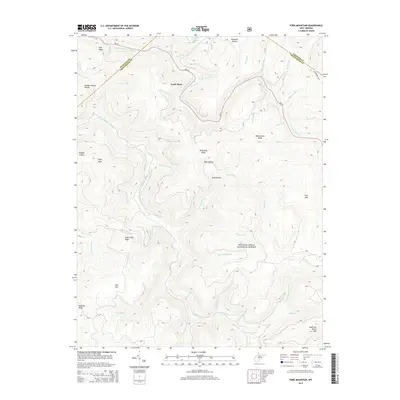
2014 Map of Fork Mountain
USGS Topo · Published 2014About this map
The Monongahela National Forest dominates this landscape in the eastern Alleghenies, where the drainage systems of the North Fork Cherry River and South Fork Cherry River carve deep valleys through the plateau. Local industry and geography intersect at Handle Factory Hollow, a site referencing the timber-dependent economies common to this portion of West Virginia. The small settlement of North Bend sits near the upper reaches of these waters, while the northern edge of the sheet features the recreational waters of Summit Lake. High points such as Bearwallow Knob, Fork Mtn, and Sugartree Bench Mtn define the horizons, marking the rugged intersections of the Greenbrier, Nicholas, and Webster county lines. The Pocahontas Trail and WV-39 provide the primary transit corridors through this heavily forested and high-elevation terrain.
Find a feature on this map
53 named features on this map. Tap any name to fly to it.
Don’t see what you’re looking for? This feature index may not catch every label — zoom into the map to look around manually.
Map Details
Editions of this 2014 Fork Mountain Map
This is the sole edition of this map. No revisions or reprints were ever made.
Other maps of this area

1889 · Nicholas
USGS Topo · 1:125,000

1891 · Nicholas
USGS Topo · 1:125,000

1891 · Huntersville
USGS Topo · 1:125,000

1894 · Huntersville
USGS Topo · 1:125,000

1901 · Nicholas
USGS Topo · 1:125,000

1915 · Webster Springs
USGS Topo · 1:48,000

1915 · Cowen
USGS Topo · 1:48,000

1917 · Cowen
USGS Topo · 1:62,500

1918 · Webster Springs
USGS Topo · 1:62,500

1918 · Richwood
USGS Topo · 1:62,500