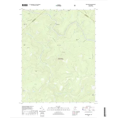
2019 Map of Fork Mountain
USGS Topo · Published 2019About this map
The North Fork Cherry River and South Fork Cherry River converge in this high-altitude section of the Monongahela National Forest. The map shows a landscape defined by sharp ridges and deep drainage basins, centered around the settlement of North Bend and the surrounding peaks of the Allegheny Mountains. The presence of Handle Factory Hollow in the west suggests historical timber-related industry, while the naming of Lost Flat and Pheasant Hollow reflects the traditional nomenclature of local hunters and woodsmen. A network of primitive paths, including the Fork Mountain Trail and Pocahontas Trail, provides the primary means of navigating the interior. These trails often follow the divides between watersheds, such as the boundary between the Nicholas and Greenbrier county lines, where prominent elevations like Bearwallow Knob and Manning Knob stand as distinct landmarks.
Find a feature on this map
53 named features on this map. Tap any name to fly to it.
Don’t see what you’re looking for? This feature index may not catch every label — zoom into the map to look around manually.
Map Details
Editions of this 2019 Fork Mountain Map
This is the sole edition of this map. No revisions or reprints were ever made.
Other maps of this area

1889 · Nicholas
USGS Topo · 1:125,000

1891 · Nicholas
USGS Topo · 1:125,000

1891 · Huntersville
USGS Topo · 1:125,000

1894 · Huntersville
USGS Topo · 1:125,000

1901 · Nicholas
USGS Topo · 1:125,000

1915 · Webster Springs
USGS Topo · 1:48,000

1915 · Cowen
USGS Topo · 1:48,000

1917 · Cowen
USGS Topo · 1:62,500

1918 · Webster Springs
USGS Topo · 1:62,500

1918 · Richwood
USGS Topo · 1:62,500