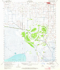
1955 Map of Forked Island
USGS Topo · Published 1964About this map
The Southern Pacific railroad corridor and the settlement of Kaplan define the northern edge of this Vermilion Parish landscape during the mid-1950s. The transition from established agricultural lands to the marshy coastal fringe is marked by a complex network of drainage and transport infrastructure, including the Intracoastal Waterway and numerous pumping stations. Local family names are deeply etched into the geography through landmarks like the Broussard Landing Field and Hebert Cem.
Find a feature on this map
60 named features on this map. Tap any name to fly to it.
Don’t see what you’re looking for? This feature index may not catch every label — zoom into the map to look around manually.
Map Details
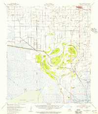
Editions of this 1955 Forked Island Map
2 editions found
Other maps of this area

1932 · Abbeville SW
USGS Topo · 1:31,680

1932 · Constance Bayou NE
USGS Topo · 1:31,680

1932 · Abbeville NW
USGS Topo · 1:31,680

1945 · Pecan Island NW
USGS Topo · 1:31,680

1945 · Pecan Island NE
USGS Topo · 1:31,680

1946 · Morse
USGS Topo · 1:31,680

1946 · Schooner Bayou SE
USGS Topo · 1:31,680

1946 · Leroy
USGS Topo · 1:31,680

1946 · Schooner Bayou NE
USGS Topo · 1:31,680

1946 · Redfish Point NW
USGS Topo · 1:31,680