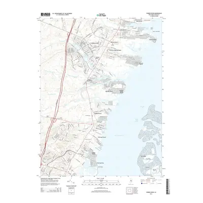
2014 Map of Forked River
USGS Topo · Published 2014About this map
Lanoka Harbor and Forked River anchor this coastal landscape along the western shore of Barnegat Bay. The settlement pattern reflects a dense network of lagoon-front residential developments such as Riviera on the Barnegat and Sunrise Beach, where fingers of land extend into the bay's tidal waters. Further inland, the Garden State Parkway cuts a vertical path through the terrain, separating the developed shore from the more wooded interior. For genealogists, the map is particularly detailed regarding local burial grounds, documenting several historic sites including Good Luck Cem near Murray Grove and the Friends Meeting Cem further south. The hydrography is equally complex, featuring the distinct branches of the river system like the Middle Br Forked River and protected waterways like the Intracoastal Waterway passing behind High Bar Island.
Find a feature on this map
55 named features on this map. Tap any name to fly to it.
Don’t see what you’re looking for? This feature index may not catch every label — zoom into the map to look around manually.
Map Details
Editions of this 2014 Forked River Map
This is the sole edition of this map. No revisions or reprints were ever made.
Other maps of this area

1884 · Whitings
USGS Topo · 1:62,500

1888 · Barnegat
USGS Topo · 1:62,500

1888 · Little Egg Harbor
USGS Topo · 1:62,500

1888 · Long Beach
USGS Topo · 1:62,500

1888 · Whitings
USGS Topo · 1:62,500

1893 · Little Egg Harbor
USGS Topo · 1:62,500

1893 · Long Beach
USGS Topo · 1:62,500

1893 · Barnegat
USGS Topo · 1:62,500

1898 · Barnegat
USGS Topo · 1:62,500

1919 · Long Beach
USGS Topo · 1:62,500