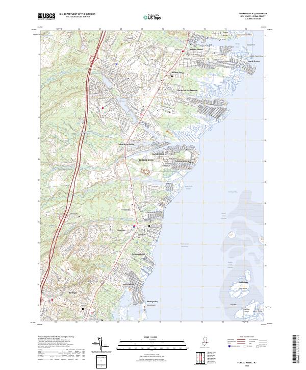
2023 Map of Forked River
USGS Topo · Published 2023About this map
Barnegat Bay dominates this coastal landscape, where a network of tidal creeks and marshes meets the developed shoreline of central New Jersey. The branching waters of the North Branch Forked River, Middle Branch Forked River, and South Branch Forked River create a complex geography for the waterfront communities of Lanoka Harbor and Waretown. Inland, the Garden State Parkway serves as a primary north-south artery, cutting through a mix of residential neighborhoods and protected areas like the NJ State Game Farm.
Find a feature on this map
59 named features on this map. Tap any name to fly to it.
Don’t see what you’re looking for? This feature index may not catch every label — zoom into the map to look around manually.
Map Details
Editions of this 2023 Forked River Map
This is the sole edition of this map. No revisions or reprints were ever made.
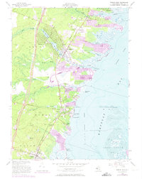
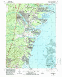
Historical Maps of Lakewood Park Through Time
3 maps found
Featured Locations
- Barnegat Township, NJ
- Berkeley Township, NJ
- Lacey Township, NJ
- Long Beach Township, NJ
- Waretown, Ocean Township