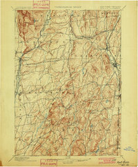
1901 Map of Fort Ann
USGS Topo · Published 1901About this map
Fort Ann and the surrounding Washington County landscape define this late 19th-century survey, which reveals a complex network of industrial and transport infrastructure. The area is dominated by the transit corridor of the CHAMPLAIN AND DELAWARE HUDSON CANAL Wood Creek, running parallel to the Delaware and Hudson R. R. through the western lowlands. This corridor supported settlements like Smith Basin and Comstock, while to the east, the Mettawee River winds through the quarrying and farming districts of Granville and Middle Granville.
Find a feature on this map
66 named features on this map. Tap any name to fly to it.
Don’t see what you’re looking for? This feature index may not catch every label — zoom into the map to look around manually.
Map Details
Editions of this 1901 Fort Ann Map
This is the sole edition of this map. No revisions or reprints were ever made.
Other maps of this area

1893 · Fort Ann
USGS Topo · 1:62,500
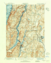
1893 · Whitehall
USGS Topo · 1:62,500

1894 · Pawlet
USGS Topo · 1:62,500
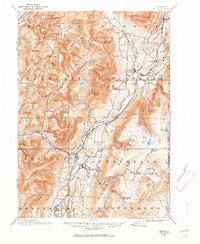
1894 · Equinox
USGS Topo · 1:62,500
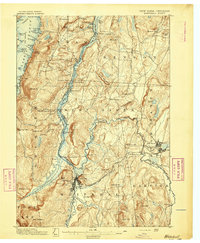
1895 · Whitehall
USGS Topo · 1:62,500
1895 · Cambridge
USGS Topo · 1:62,500

1895 · Fort Ann
USGS Topo · 1:62,500
1895 · Glens Falls
USGS Topo · 1:62,500
1895 · Castleton
USGS Topo · 1:62,500
1896 · Equinox
USGS Topo · 1:62,500