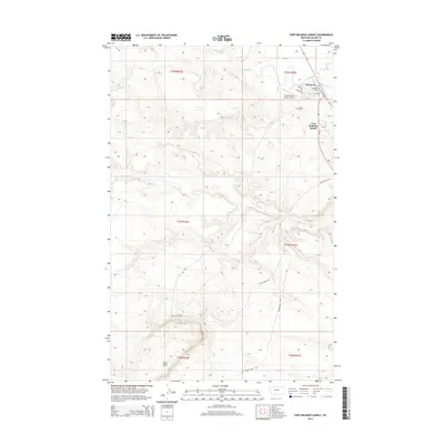
2014 Map of Fort Belknap Agency
USGS Topo · Published 2014About this map
The Milk River valley defines the northern reaches of this landscape, where the settlements of Fort Belknap Agency and Newtown serve as the administrative and community hubs. The presence of Ft Belknap Coll and the Fort Belknap Agency Airport indicates the modern infrastructure supporting the Agency District in the early 21st century. Water management is a primary feature of the local geography, visible in the path of the Milk River Canal A as it parallels the river's winding course.
Find a feature on this map
24 named features on this map. Tap any name to fly to it.
Don’t see what you’re looking for? This feature index may not catch every label — zoom into the map to look around manually.
Map Details
Editions of this 2014 Fort Belknap Agency Map
This is the sole edition of this map. No revisions or reprints were ever made.
Other maps of this area

1903 · Wayne Creek
USGS Topo · 1:62,500

1905 · Wayne Creek
USGS Topo · 1:62,500

1905 · Harlem
USGS Topo · 1:62,500

1913 · Cherry Ridge
USGS Topo · 1:125,000

1953 · Havre
USGS Topo · 1:250,000

1957 · Havre
USGS Topo · 1:250,000

1958 · Havre
USGS Topo · 1:250,000

1964 · Threemile Reservoir
USGS Topo · 1:24,000
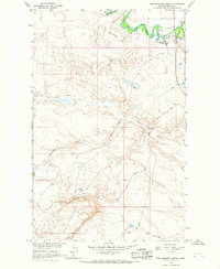
1964 · Fort Belknap Agency
USGS Topo · 1:24,000
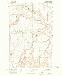
1964 · Big Coulee
USGS Topo · 1:24,000