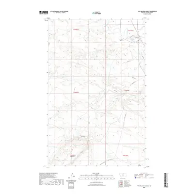
2020 Map of Fort Belknap Agency
USGS Topo · Published 2020About this map
Fort Belknap Agency sits at the northern edge of this landscape, nestled near the winding course of the Milk River. This contemporary survey reflects the organized community structure of the Agency District, featuring institutional hubs like Fort Belknap College and essential infrastructure such as the Fort Belknap Agency Airport. The landscape transition from the river valley to the higher elevations is marked by the Milk River Canal A, a critical piece of water management for the region.
Find a feature on this map
25 named features on this map. Tap any name to fly to it.
Don’t see what you’re looking for? This feature index may not catch every label — zoom into the map to look around manually.
Map Details
Editions of this 2020 Fort Belknap Agency Map
This is the sole edition of this map. No revisions or reprints were ever made.
Other maps of this area

1903 · Wayne Creek
USGS Topo · 1:62,500

1905 · Wayne Creek
USGS Topo · 1:62,500

1905 · Harlem
USGS Topo · 1:62,500

1913 · Cherry Ridge
USGS Topo · 1:125,000

1953 · Havre
USGS Topo · 1:250,000

1957 · Havre
USGS Topo · 1:250,000

1958 · Havre
USGS Topo · 1:250,000

1964 · Threemile Reservoir
USGS Topo · 1:24,000
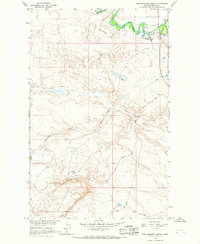
1964 · Fort Belknap Agency
USGS Topo · 1:24,000
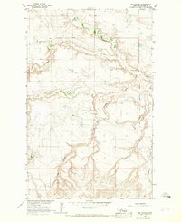
1964 · Big Coulee
USGS Topo · 1:24,000