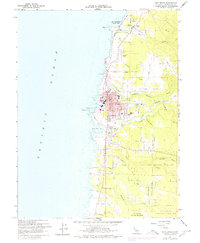
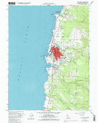
1960 Map of Fort Bragg
USGS Topo · Published 1980About this map
Fort Bragg serves as the focal point of this Mendocino coast survey, where the timber and rail infrastructure meet the Pacific. The town's grid is dominated by the California Western RR, which follows the northern bank of Pudding Creek before heading inland toward the forest. To the north, Mac Kerricher State Park encompasses Lake Cleone and the dunes near Laguna Pt, while the southern reaches of the map transition into the dense woods of the Jackson State Forest.
Find a feature on this map
49 named features on this map. Tap any name to fly to it.
Don’t see what you’re looking for? This feature index may not catch every label — zoom into the map to look around manually.
Map Details
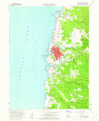
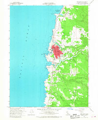
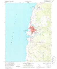
Editions of this 1960 Fort Bragg Map
5 editions found
Other maps of this area

1920 · Glenblair
USGS Topo · 1:62,500

1920 · Fort Bragg
USGS Topo · 1:62,500

1921 · Westport
USGS Topo · 1:62,500

1921 · Branscomb
USGS Topo · 1:62,500

1943 · Glenblair
USGS Topo · 1:62,500

1943 · Fort Bragg
USGS Topo · 1:62,500

1950 · Cape Vizcaino
USGS Topo · 1:62,500

1951 · Cape Vizcaino
USGS Topo · 1:62,500

1951 · Branscomb
USGS Topo · 1:62,500

1957 · Ukiah
USGS Topo · 1:250,000