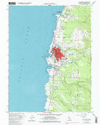
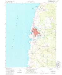
1960 Map of Fort Bragg
USGS Topo · Published 1985About this map
Fort Bragg serves as the focal point of this coastal survey, where the California Western railroad meets the rugged Pacific shoreline. The industrial and maritime character of the era is evident in the dense street grid and landmarks like the Post Office, City Hall, and the Pumphouse near the shoreline. To the north, the small settlement of Cleone sits near the entrance of Mac Kerricher State Park and Lake Cleone, while the southern reaches are dominated by the winding Noyo River and the expansive Jackson State Forest. The map documents a landscape defined by the intersection of the logging-influenced interior and the maritime activity at Noyo Bay and Ft Bragg Landing. Several creek systems, including Pudding Creek and Hare Creek, carve through the terrain, illustrating the natural drainage patterns that shaped local development and the location of Sherwood Road.
Find a feature on this map
50 named features on this map. Tap any name to fly to it.
Don’t see what you’re looking for? This feature index may not catch every label — zoom into the map to look around manually.
Map Details
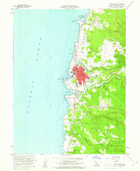
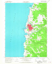
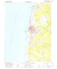
Editions of this 1960 Fort Bragg Map
5 editions found
Other maps of this area

1920 · Glenblair
USGS Topo · 1:62,500

1920 · Fort Bragg
USGS Topo · 1:62,500

1921 · Westport
USGS Topo · 1:62,500

1921 · Branscomb
USGS Topo · 1:62,500

1943 · Glenblair
USGS Topo · 1:62,500

1943 · Fort Bragg
USGS Topo · 1:62,500

1950 · Cape Vizcaino
USGS Topo · 1:62,500

1951 · Cape Vizcaino
USGS Topo · 1:62,500

1951 · Branscomb
USGS Topo · 1:62,500

1957 · Ukiah
USGS Topo · 1:250,000