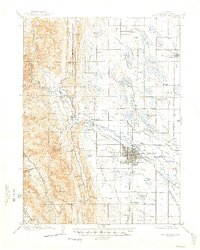
1906 Map of Fort Collins
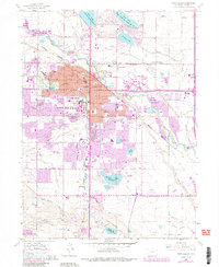
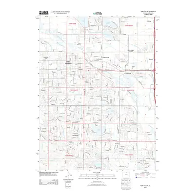
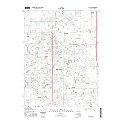
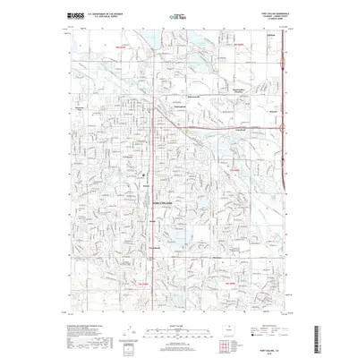
USGS Topo · Published 1969About this map
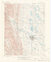
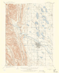
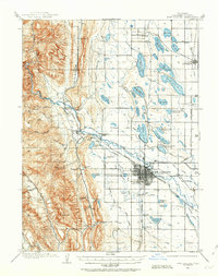
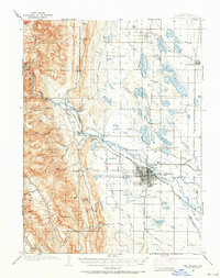
The Colorado and Southern R R defines the industrial backbone of this northern Colorado landscape, linking the burgeoning city of Fort Collins with surrounding quarrying and agricultural outposts. The grid of the city is already well-established, anchored by the Colorado State Agricultural College and a sophisticated network of irrigation reservoirs like Terry Lake and Lindenmeier Lake. This early water management system, branching from the Cache La Poudre River, illustrates the engineering required to sustain high-plains farming. To the west, the terrain rises sharply into the foothills, where the Empire Mine and the settlement of Stout mark the era's reliance on mineral and stone extraction. The presence of numerous numbered reservoirs and named glades such as Hook and Moore Glade reveals a territory in the midst of rapid transformation from open range to a structured, resource-driven economy.
Find a feature on this map
71 named features on this map. Tap any name to fly to it.
Don’t see what you’re looking for? This feature index may not catch every label — zoom into the map to look around manually.
Map Details
Editions of this 1906 Fort Collins Map
4 editions found
Historical Maps of Fort Collins Through Time
9 maps found
1906 Fort Collins
Larimer County, CO
1908 Fort Collins
Larimer County, CO
1960 Fort Collins
Larimer County, CO
1980 Fort Collins
Larimer County, CO
2010 Fort Collins
Larimer County, CO
2013 Fort Collins
Larimer County, CO
2016 Fort Collins
Larimer County, CO
2019 Fort Collins
Larimer County, CO
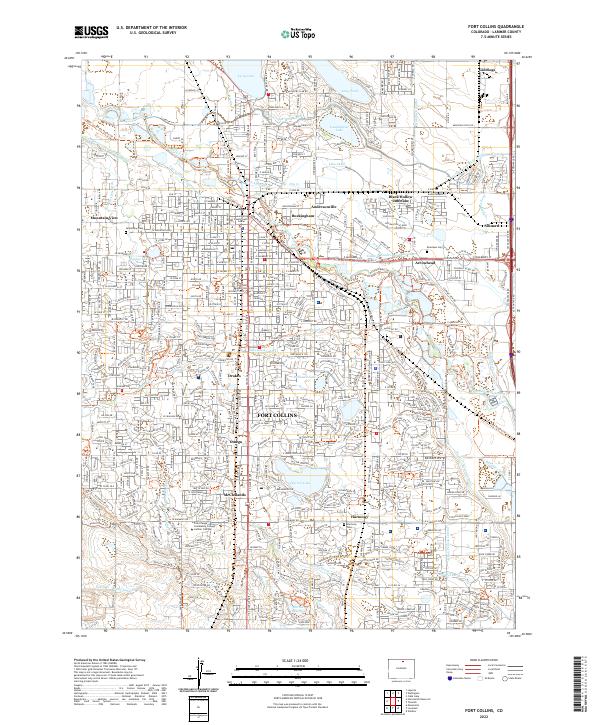
2022 Fort Collins
Larimer County, CO