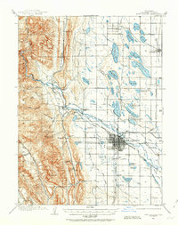
1906 Map of Fort Collins
USGS Topo · Published 1963About this map
The Cache La Poudre River winds through this early twentieth-century landscape, anchoring the development of Fort Collins and the surrounding agricultural valleys. The city's core is already well-defined by a grid system, centered around the Colorado State Agricultural College. To the west, the topography shifts abruptly into the ridges of the Front Range, where canyons like Rist Canyon and Soldier Canyon cut through the uplift.
Find a feature on this map
66 named features on this map. Tap any name to fly to it.
Don’t see what you’re looking for? This feature index may not catch every label — zoom into the map to look around manually.
Map Details
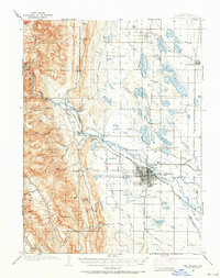
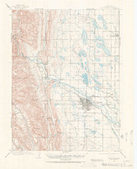
Editions of this 1906 Fort Collins Map
4 editions found
Other maps of this area

1902 · Greeley
USGS Topo · 1:125,000

1905 · Mount Olympus
USGS Topo · 1:62,500

1906 · Loveland
USGS Topo · 1:62,500

1906 · Fort Collins
USGS Topo · 1:62,500

1907 · Mount Olympus
USGS Topo · 1:62,500

1907 · Livermore
USGS Topo · 1:125,000

1908 · Loveland
USGS Topo · 1:62,500

1908 · Fort Collins
USGS Topo · 1:62,500

1908 · Eaton
USGS Topo · 1:125,000

1909 · Livermore
USGS Topo · 1:125,000