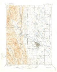
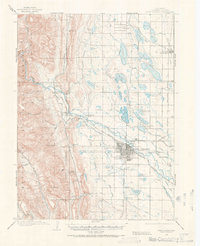
1908 Map of Fort Collins
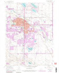
USGS Topo · Published 1947About this map
Fort Collins serves as the hub of a complex irrigation and transit network at the foot of the Rocky Mountains. The Cache La Poudre River flows through the heart of the region, feeding an extensive system of man-made waterways including the Larimer County Canal and the Arthur Ditch. This 1908 survey illustrates the early development of the Colorado State Agricultural College and the industrial importance of the Colorado and Southern R. R., which reaches into the foothills via its Stout Branch.
Find a feature on this map
69 named features on this map. Tap any name to fly to it.
Don’t see what you’re looking for? This feature index may not catch every label — zoom into the map to look around manually.
Map Details
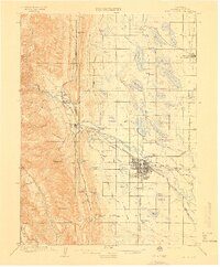
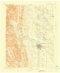
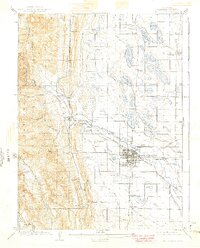
Editions of this 1908 Fort Collins Map
4 editions found
Historical Maps of Fort Collins Through Time
9 maps found
1906 Fort Collins
Larimer County, CO
1908 Fort Collins
Larimer County, CO
1960 Fort Collins
Larimer County, CO
1980 Fort Collins
Larimer County, CO
2010 Fort Collins
Larimer County, CO
2013 Fort Collins
Larimer County, CO
2016 Fort Collins
Larimer County, CO
2019 Fort Collins
Larimer County, CO
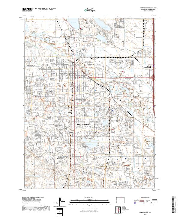
2022 Fort Collins
Larimer County, CO