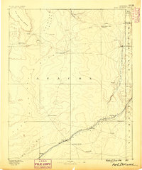
1886 Map of Fort Defiance
USGS Topo · Published 1886About this map
Fort Defiance stands as the primary hub in this early territorial survey, positioned where the high plateaus of Apache County meet the borders of New Mexico. The landscape is defined by its critical water sources, such as Jacobs Well, Tanners Spring, and Navajo Springs, which supported travelers and livestock in an otherwise arid environment. Along the southern edge, the Atlantic and Pacific Railroad cuts across the terrain, establishing a vital transportation corridor through small stops like Allantown, Navajo, and Billings.
Find a feature on this map
29 named features on this map. Tap any name to fly to it.
Don’t see what you’re looking for? This feature index may not catch every label — zoom into the map to look around manually.
Map Details
Editions of this 1886 Fort Defiance Map
This is the sole edition of this map. No revisions or reprints were ever made.
Other maps of this area
1883 · Marsh Pass
USGS Topo · 1:250,000
1883 · Tusayan
USGS Topo · 1:250,000

1886 · St Johns
USGS Topo · 1:250,000
1886 · Wingate
USGS Topo · 1:250,000
1886 · Tusayan
USGS Topo · 1:250,000
1886 · Holbrook
USGS Topo · 1:250,000
1889 · Chaco
USGS Topo · 1:250,000
1892 · Fort Defiance
USGS Topo · 1:250,000
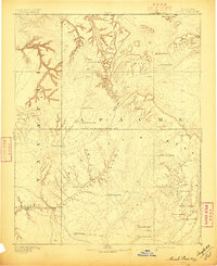
1892 · Marsh Pass
USGS Topo · 1:250,000
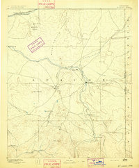
1892 · St Johns
USGS Topo · 1:250,000
Featured Places
- Chinle Agency, AZ
- Fort Defiance Agency
- Fort Defiance, Fort Defiance Agency
- Window Rock, Fort Defiance Agency
- Eastern Navajo Agency, NM