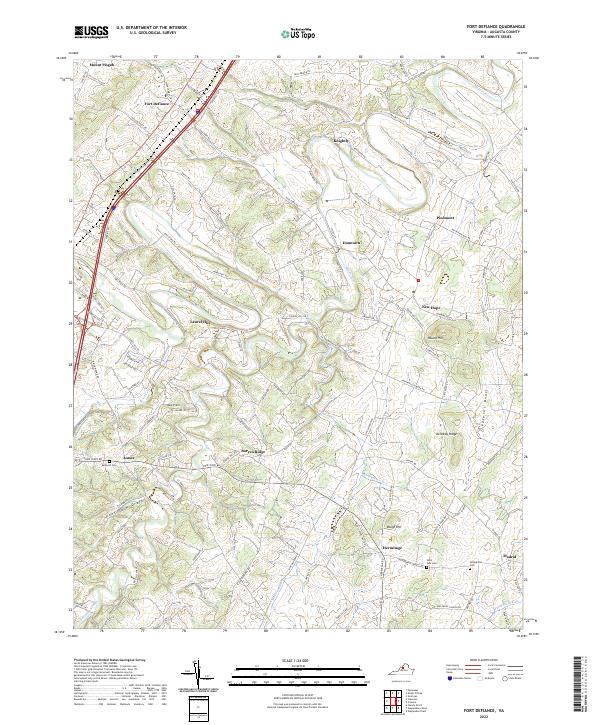
2022 Map of Fort Defiance
USGS Topo · Published 2022About this map
Middle River meanders through this portion of Augusta County, defining a landscape marked by small agricultural communities and historic crossroads. The village of Fort Defiance sits in the northwest, near the elevated grounds of Mount Pisgah, while the southeastern corner is anchored by the settlement of Hermitage. The area's rural character is evidenced by numerous family and community landmarks, including Belmont Cem and Saint Paul Cem.
Find a feature on this map
110 named features on this map. Tap any name to fly to it.
Don’t see what you’re looking for? This feature index may not catch every label — zoom into the map to look around manually.
Map Details
Editions of this 2022 Fort Defiance Map
This is the sole edition of this map. No revisions or reprints were ever made.
Other maps of this area

1892 · Harrisonburg
USGS Topo · 1:125,000

1894 · Staunton
USGS Topo · 1:125,000

1934 · Waynesboro
USGS Topo · 1:48,000

1939 · Waynesboro
USGS Topo · 1:62,500

1941 · Harrisonburg
USGS Topo · 1:62,500

1943 · Harrisonburg
USGS Topo · 1:62,500

1944 · Parnassus
USGS Topo · 1:62,500

1944 · Staunton
USGS Topo · 1:62,500

1947 · Staunton
USGS Topo · 1:62,500

1947 · Parnassus
USGS Topo · 1:62,500