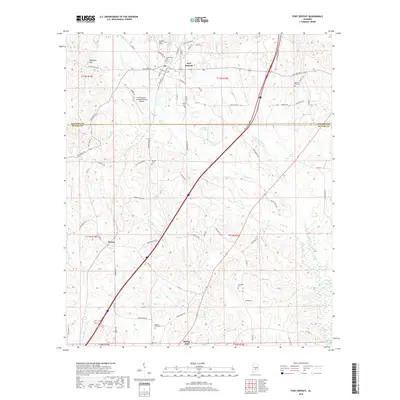
2018 Map of Fort Deposit
USGS Topo · Published 2018About this map
Fort Deposit stands as the primary hub in this portion of the Black Belt, where the rolling landscape of Lowndes County meets Butler County. The terrain is defined by a series of north-south running ridges and creek valleys, notably Barganier Hill and the Gilmer Hills. The map documents a scattered network of rural settlements and family burial grounds, including Myrtlewood Cem and Springhill Cem, which provide essential points of reference for local family history. To the south, the village of Searcy and the community of Spring Hill are connected by a web of county roads such as Wagon Wheel Rd and Happy Hollow Rd. The low-lying areas are dominated by significant wetlands, most notably the Pigeon Creek Swamp and the waters of Indian Cr and Piney Woods Cr.
Find a feature on this map
81 named features on this map. Tap any name to fly to it.
Don’t see what you’re looking for? This feature index may not catch every label — zoom into the map to look around manually.
Map Details
Editions of this 2018 Fort Deposit Map
This is the sole edition of this map. No revisions or reprints were ever made.
Other maps of this area

1953 · Montgomery
USGS Topo · 1:250,000

1953 · Andalusia
USGS Topo · 1:250,000

1956 · Montgomery
USGS Topo · 1:250,000

1957 · Montgomery
USGS Topo · 1:250,000

1957 · Andalusia
USGS Topo · 1:250,000

1957 · Letohatchee
USGS Topo · 1:62,500

1971 · Greenville West
USGS Topo · 1:24,000

1971 · Fort Deposit
USGS Topo · 1:24,000

1971 · Honoraville
USGS Topo · 1:24,000

1971 · Fort Dale
USGS Topo · 1:24,000