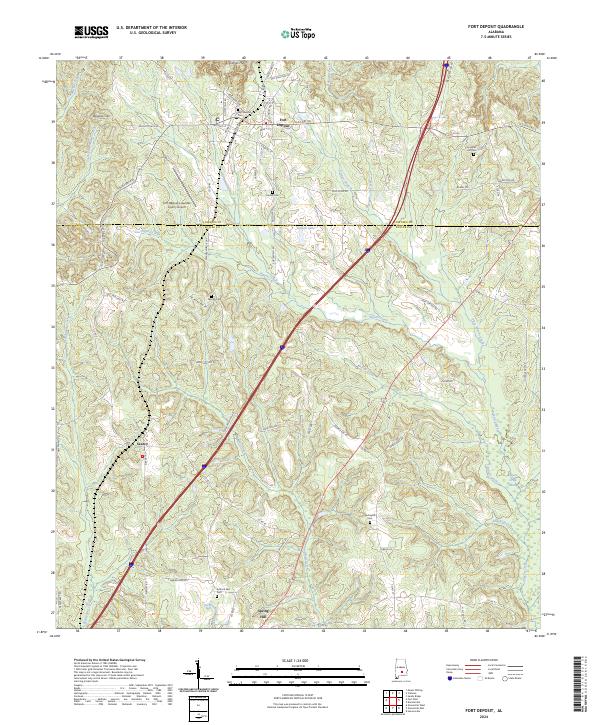
2024 Map of Fort Deposit
USGS Topo · Published 2024About this map
The town of Fort Deposit serves as the focal point for this survey of the Alabama Black Belt, situated where the northern hills meet the headwaters of the coastal plain. The landscape is defined by the crossing of the Lowndes and Butler County line, with the community of Searcy and the high ground of Barganier Hill marking the western reaches. A network of rural cemeteries, including Myrtlewood Cem, Jordan Cem, and Moriah Cem, provides a genealogical framework for the area's long-established family homesteads.
Find a feature on this map
79 named features on this map. Tap any name to fly to it.
Don’t see what you’re looking for? This feature index may not catch every label — zoom into the map to look around manually.
Map Details
Editions of this 2024 Fort Deposit Map
This is the sole edition of this map. No revisions or reprints were ever made.
Other maps of this area

1953 · Montgomery
USGS Topo · 1:250,000

1953 · Andalusia
USGS Topo · 1:250,000

1956 · Montgomery
USGS Topo · 1:250,000

1957 · Montgomery
USGS Topo · 1:250,000

1957 · Andalusia
USGS Topo · 1:250,000
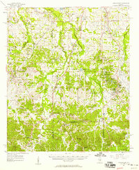
1957 · Letohatchee
USGS Topo · 1:62,500
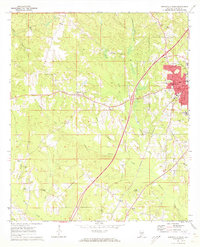
1971 · Greenville West
USGS Topo · 1:24,000
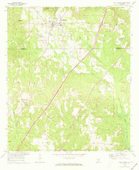
1971 · Fort Deposit
USGS Topo · 1:24,000
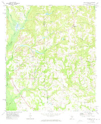
1971 · Honoraville
USGS Topo · 1:24,000
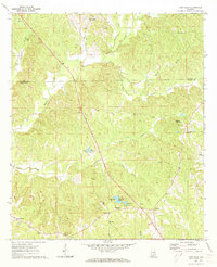
1971 · Fort Dale
USGS Topo · 1:24,000