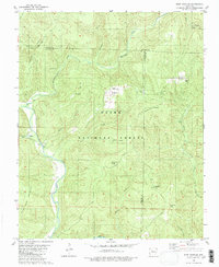
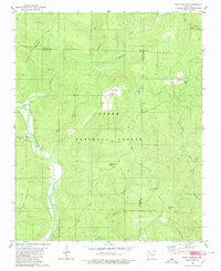
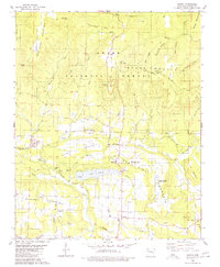
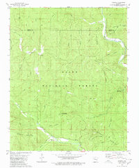
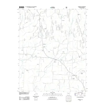
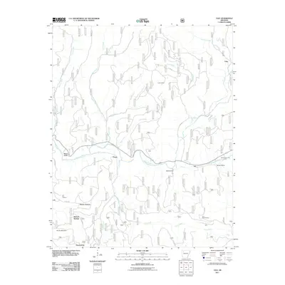
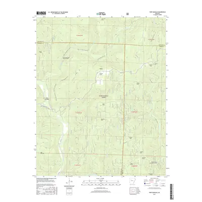
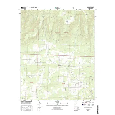
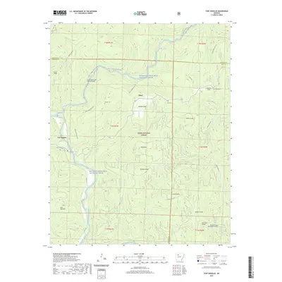
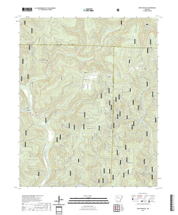
1980 Map of Fort Douglas
USGS Topo · Published 1980About this map
Big Piney Creek winds through the high terrain of the Ozark National Forest on this 1980 edition map, marking a landscape defined by deep valleys and prominent peaks. The settlement of Fort Douglas sits at the confluence of Haw Creek and the main river, serving as a focal point for the surrounding hollows. The area's genealogical history is preserved in small upland burial grounds like Wheeler Cem, Self Cem, and Coleman Cem, often located near named family landmarks such as Wheeler Knob and Coleman Knob. Significant natural features including a Natural Bridge on Hurricane Creek and the high elevations of Pilot Rock Mountain illustrate the isolation of these communities. The presence of the Hurricane Trail and various creek-side fords suggests a network of travel ways that historically connected these mountain settlements before modern infrastructure.
Find a feature on this map
32 named features on this map. Tap any name to fly to it.
Don’t see what you’re looking for? This feature index may not catch every label — zoom into the map to look around manually.
Map Details
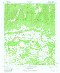
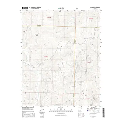
Editions of this 1980 Fort Douglas Map
2 editions found
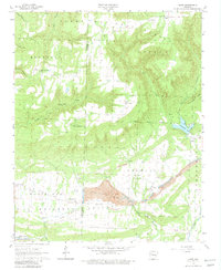
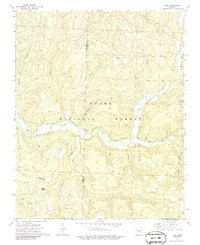
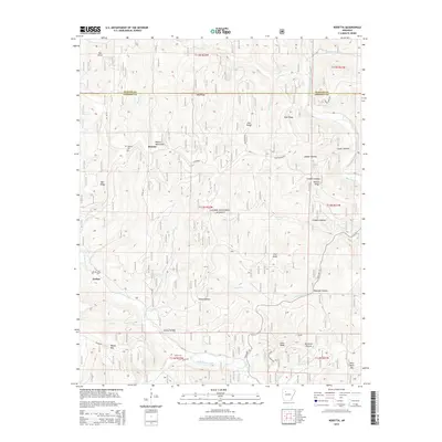
Historical Maps of Bertha Through Time
38 maps found

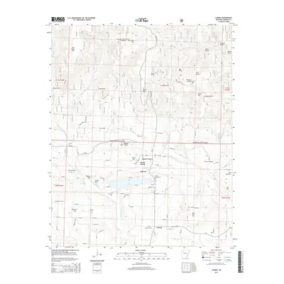
1888 Dardanelle #2
Johnson County, AR

1906 Batson
Johnson County, AR
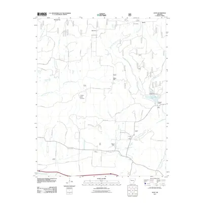
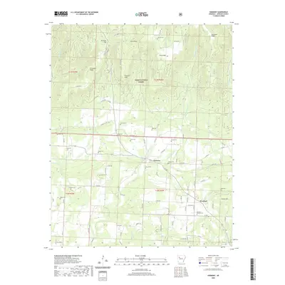
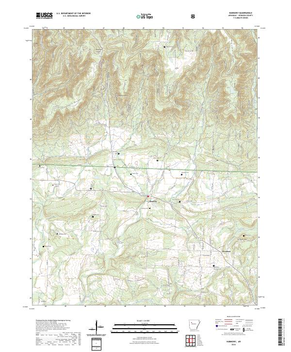
1963 Harmony
Johnson County, AR
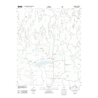
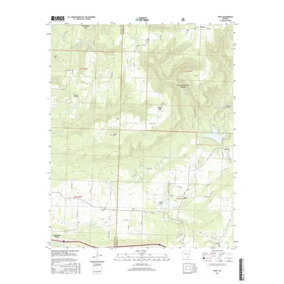
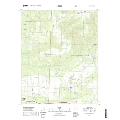
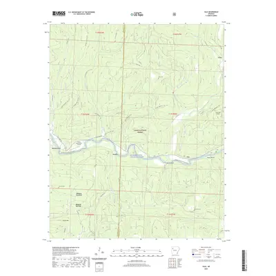
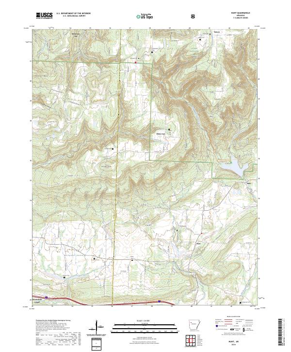
1963 Hunt
Johnson County, AR
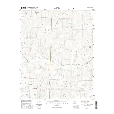
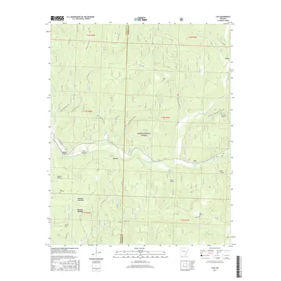
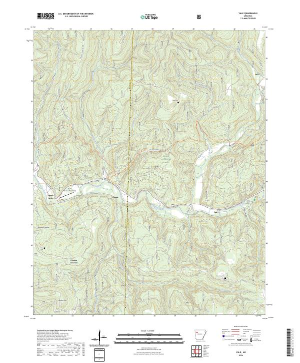
1973 Yale
Johnson County, AR
1980 Fort Douglas
Johnson County, AR
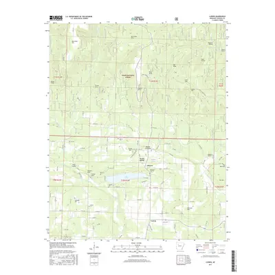
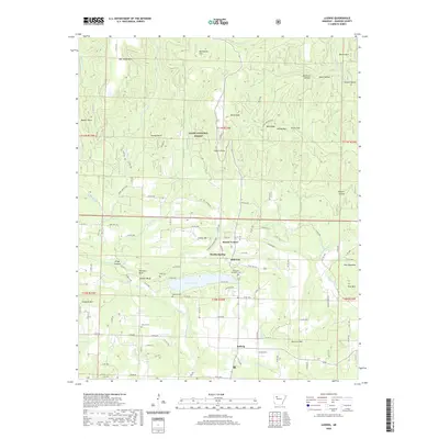
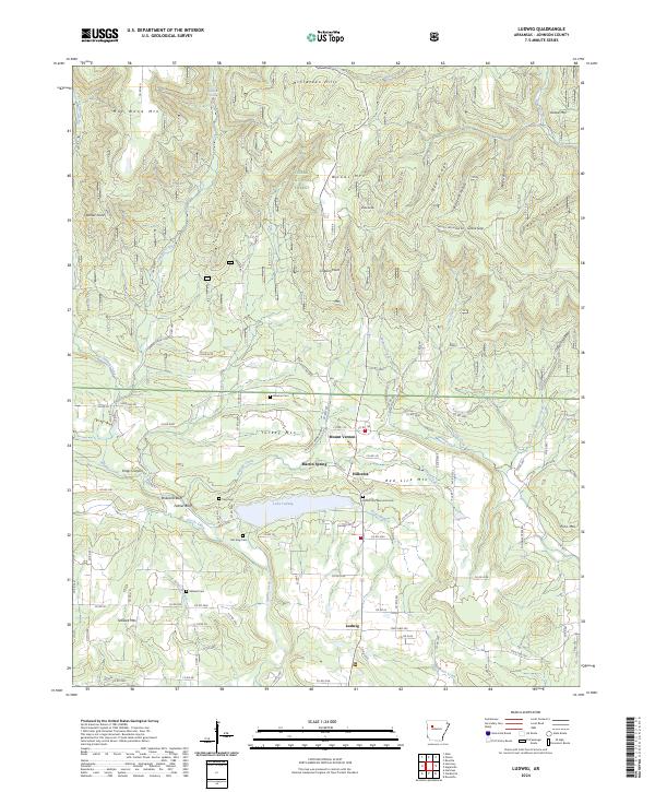
1980 Ludwig
Johnson County, AR
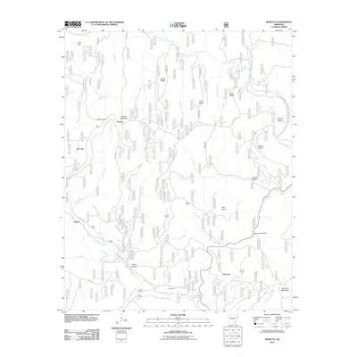
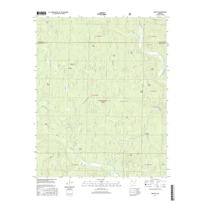
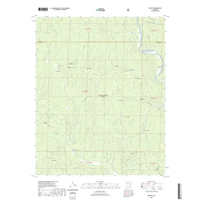
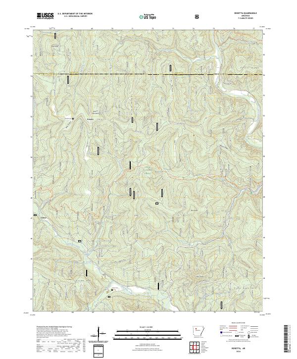
1980 Rosetta
Johnson County, AR
2011 Fort Douglas
Johnson County, AR
2011 Harmony
Johnson County, AR
2011 Hunt
Johnson County, AR
2011 Ludwig
Johnson County, AR
2011 Rosetta
Johnson County, AR
2011 Yale
Johnson County, AR
2014 Fort Douglas
Johnson County, AR
2014 Harmony
Johnson County, AR
2014 Hunt
Johnson County, AR
2014 Ludwig
Johnson County, AR
2014 Rosetta
Johnson County, AR
2014 Yale
Johnson County, AR
2017 Fort Douglas
Johnson County, AR
2017 Harmony
Johnson County, AR
2017 Hunt
Johnson County, AR
2017 Ludwig
Johnson County, AR
2017 Rosetta
Johnson County, AR
2017 Yale
Johnson County, AR
2020 Fort Douglas
Johnson County, AR
2020 Harmony
Johnson County, AR
2020 Hunt
Johnson County, AR
2020 Ludwig
Johnson County, AR
2020 Rosetta
Johnson County, AR
2020 Yale
Johnson County, AR
2024 Fort Douglas
Johnson County, AR
2024 Harmony
Johnson County, AR
2024 Hunt
Johnson County, AR
2024 Ludwig
Johnson County, AR
2024 Rosetta
Johnson County, AR
2024 Yale
Johnson County, AR