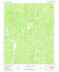
1980 Map of Fort Douglas
USGS Topo · Published 1980About this map
Big Piney Creek winds through the southern portion of this region, which was surveyed during the mid-1970s. This heavily forested landscape within the Ozark National Forest is defined by a series of prominent peaks and high ridges, including Pilot Rock Mountain and McMinn Knob. The map reveals the distribution of remote settlements such as Fort Douglas, Dillen, and Bertha, often located along watercourses or near high-ground landmarks like Wheeler Knob.
Find a feature on this map
32 named features on this map. Tap any name to fly to it.
Don’t see what you’re looking for? This feature index may not catch every label — zoom into the map to look around manually.
Map Details
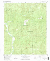
Editions of this 1980 Fort Douglas Map
2 editions found
Other maps of this area

1889 · Treat
USGS Topo · 1:62,500

1889 · Ozone
USGS Topo · 1:62,500

1932 · Treat
USGS Topo · 1:62,500

1933 · Mt Judea
USGS Topo · 1:62,500

1934 · Treat
USGS Topo · 1:62,500

1934 · Ozone
USGS Topo · 1:62,500

1936 · Ozone
USGS Topo · 1:62,500

1940 · Mt Judea
USGS Topo · 1:62,500

1956 · Russellville
USGS Topo · 1:250,000

1964 · Russellville
USGS Topo · 1:250,000