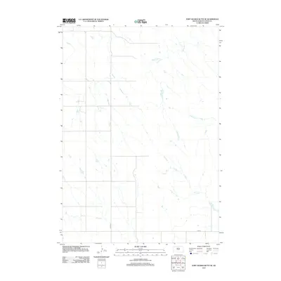
2012 Map of Fort George Butte SE
USGS Topo · Published 2012About this map
Dipping Tank Creek flows through this sparsely settled portion of Lyman County, highlighting a landscape defined by its drainages and rural infrastructure. This 2012 survey documents a largely open territory where the intermittent waters of Dipping Tank Creek and the South Fork Cedar Creek cut through the terrain. The network of drainage channels, including Grouse Creek and Nail Creek, suggests a landscape primarily dedicated to ranching or agriculture, where water management is central to the land's utility. Transport through this area is facilitated by established routes such as County Highway 22 and County Road 16, which provide the primary framework for movement across the expansive open spaces. This map offers a clear view of the rural South Dakota interior, capturing the exact placement of local roads and creek beds that define property and travel in the early 21st century.
Find a feature on this map
6 named features on this map. Tap any name to fly to it.
Don’t see what you’re looking for? This feature index may not catch every label — zoom into the map to look around manually.
Map Details
Editions of this 2012 Fort George Butte SE Map
This is the sole edition of this map. No revisions or reprints were ever made.
Other maps of this area

1953 · Huron
USGS Topo · 1:250,000

1954 · Pierre
USGS Topo · 1:250,000

1954 · Huron
USGS Topo · 1:250,000

1955 · Martin
USGS Topo · 1:250,000

1955 · Mitchell
USGS Topo · 1:250,000

1958 · Pierre
USGS Topo · 1:250,000

1958 · Martin
USGS Topo · 1:250,000

1959 · Mitchell
USGS Topo · 1:250,000

1966 · Ft. George Butte SE
USGS Topo · 1:24,000

1966 · Joe Creek NW
USGS Topo · 1:24,000