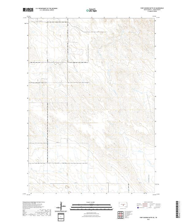
2021 Map of Fort George Butte SE
USGS Topo · Published 2021About this map
Fort George Butte dominates the central landscape of this Lyman County prairie, where the modern drainage patterns of the Missouri River plateau are clearly defined. The terrain is etched by several seasonal watercourses including Dipping Tank Cr, S Fork Cedar Cr, and Grouse Cr. These creek beds provide the primary relief against the high plains of the t107n r77w and t107n r76w townships. Human activity is evidenced by a sparse but structured network of section-line roads, most notably Co Hwy 22 and Co Rd 16. The land classification reveals large tracts of open space characteristic of the central South Dakota ranching environment, with Nail Cr cutting across the southern boundary near Fort George Butte SW.
Find a feature on this map
15 named features on this map. Tap any name to fly to it.
Don’t see what you’re looking for? This feature index may not catch every label — zoom into the map to look around manually.
Map Details
Editions of this 2021 Fort George Butte SE Map
This is the sole edition of this map. No revisions or reprints were ever made.
Other maps of this area

1953 · Huron
USGS Topo · 1:250,000

1954 · Pierre
USGS Topo · 1:250,000

1954 · Huron
USGS Topo · 1:250,000

1955 · Martin
USGS Topo · 1:250,000

1955 · Mitchell
USGS Topo · 1:250,000

1958 · Pierre
USGS Topo · 1:250,000

1958 · Martin
USGS Topo · 1:250,000

1959 · Mitchell
USGS Topo · 1:250,000

1966 · Ft. George Butte SE
USGS Topo · 1:24,000

1966 · Joe Creek NW
USGS Topo · 1:24,000