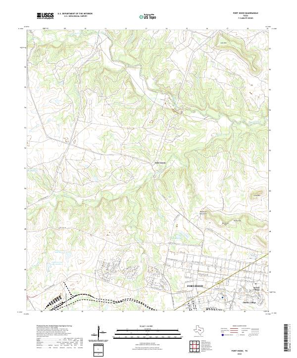
2022 Map of Fort Hood
USGS Topo · Published 2022About this map
Fort Hood dominates this landscape, which serves as a major military installation straddling the Coryell Co Bell Co boundary. The southern portion of the sheet reveals the planned residential layouts of McNair Village and Chaffee Village, where streets like Hell On Wheels Ave and Old Ironsides Ave reflect the armored history of the post. To the north, the terrain becomes more complex as the watershed of Cowhouse Creek and its tributaries, including Cottonwood Cr and Stampede Cr, carve through the hills.
Find a feature on this map
84 named features on this map. Tap any name to fly to it.
Don’t see what you’re looking for? This feature index may not catch every label — zoom into the map to look around manually.
Map Details
Editions of this 2022 Fort Hood Map
This is the sole edition of this map. No revisions or reprints were ever made.
Other maps of this area

1894 · Gatesville
USGS Topo · 1:125,000

1930 · Killeen
USGS Topo · 1:62,500

1947 · Fort Hood
USGS Topo · 1:62,500

1947 · Fort Hood
USGS Topo · 1:24,000

1947 · Purmela
USGS Topo · 1:62,500

1947 · Post Oak Mountain
USGS Topo · 1:24,000

1947 · Killeen
USGS Topo · 1:62,500

1947 · McMillan Mountains
USGS Topo · 1:24,000

1947 · Pidcoke
USGS Topo · 1:24,000

1947 · North Fort Hood
USGS Topo · 1:24,000
Featured Places
- Chaffee Village, TX
- McNair Village, TX
- Patton Park, TX
- Comanche Village II, TX
- Comanche Village III East, TX