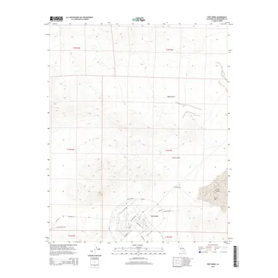
2015 Map of Fort Irwin
USGS Topo · Published 2015About this map
Fort Irwin serves as a critical desert installation, centered within this 2015 study of the Mojave Desert. The landscape is dominated by the dry bed of Bicycle Lake and its associated Bicycle Lake Army Airfield to the east. The military infrastructure is deeply detailed, showing a complex network of roads including Bastogne St, Anzio St, and Langford Lk, alongside training area features like Tank Xing and Sanitary Field Rd.
Find a feature on this map
34 named features on this map. Tap any name to fly to it.
Don’t see what you’re looking for? This feature index may not catch every label — zoom into the map to look around manually.
Map Details
Editions of this 2015 Fort Irwin Map
This is the sole edition of this map. No revisions or reprints were ever made.
Other maps of this area

1933 · Avawatz Mountains
USGS Topo · 1:250,000

1947 · Trona
USGS Topo · 1:250,000

1948 · Trona
USGS Topo · 1:250,000

1948 · Alvord Mountain
USGS Topo · 1:62,500

1948 · Lane Mountain
USGS Topo · 1:62,500

1948 · Goldstone Lake
USGS Topo · 1:62,500

1948 · Tiefort Mountains
USGS Topo · 1:62,500

1951 · Goldstone Lake
USGS Topo · 1:62,500

1951 · Tiefort Mountains
USGS Topo · 1:62,500

1951 · Alvord Mountain
USGS Topo · 1:62,500