Loading...
Loading map...2021 Map of Fort Jones
USGS Topo · Published 2021About this map
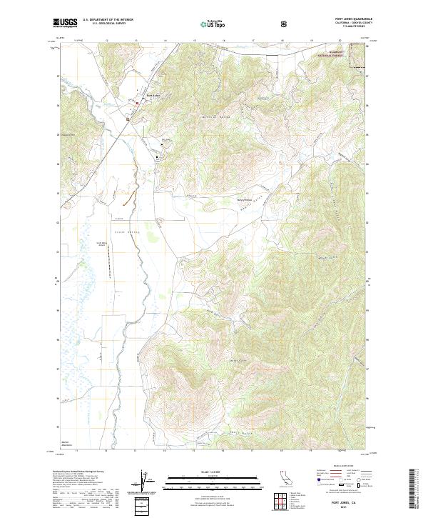
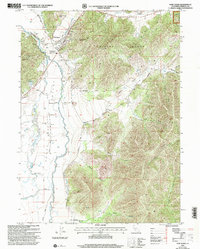
Fort Jones sits as the primary settlement in this northern California valley, positioned where Moffett Cr meets the Scott River. The landscape transitions from the broad agricultural flats of Scott Valley to the elevations of the Mineral Range and the Marble Mountains. This survey captures the town's local geography, including the Fort Jones Cem and Fort Jones Catholic Cem situated along the eastern terrace.
Find a feature on this map
59 named features on this map. Tap any name to fly to it.
Don’t see what you’re looking for? This feature index may not catch every label — zoom into the map to look around manually.
Map Details
Date Portrayed2021
Date Published2021
PublisherU.S. Geological Survey
Map TypeTopographic
Scale1:24000
Physical Dimensions24 x 29 inches
Editions of this 2021 Fort Jones Map
This is the sole edition of this map. No revisions or reprints were ever made.
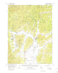
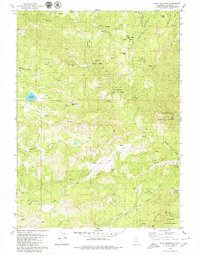
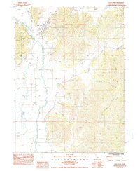
Historical Maps of Fort Jones Through Time
5 maps found
Featured Locations
Source Details
SourceU.S. Geological Survey
CopyrightPublic Domain