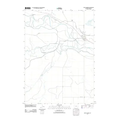
2012 Map of Fort Laramie
USGS Topo · Published 2012About this map
The confluence of the N Platte River and the Laramie River dominates this Wyoming landscape, where the water supply network is as critical to the region's character as the terrain itself. Infrastructure like the Fort Laramie Canal Rd and the Sandercock Reservoir illustrate the management of these vital water resources in Goshen County. Small settlements such as Rymill appear alongside a grid of rural routes including Pontarolo Rd and Fort Laramie Rd, highlighting the sparse but organized agricultural habitation of the early 21st century.
Find a feature on this map
27 named features on this map. Tap any name to fly to it.
Don’t see what you’re looking for? This feature index may not catch every label — zoom into the map to look around manually.
Map Details
Editions of this 2012 Fort Laramie Map
This is the sole edition of this map. No revisions or reprints were ever made.
Other maps of this area

1896 · Patrick
USGS Topo · 1:125,000

1896 · Hartville
USGS Topo · 1:125,000

1901 · Hartville
USGS Topo · 1:125,000

1950 · Rockeagle
USGS Topo · 1:24,000

1950 · Guernsey
USGS Topo · 1:24,000

1950 · Casebier Hill
USGS Topo · 1:24,000

1950 · Fort Laramie
USGS Topo · 1:24,000

1950 · Register Cliff
USGS Topo · 1:24,000

1951 · Eagles Nest
USGS Topo · 1:24,000

1952 · Register Cliff
USGS Topo · 1:24,000