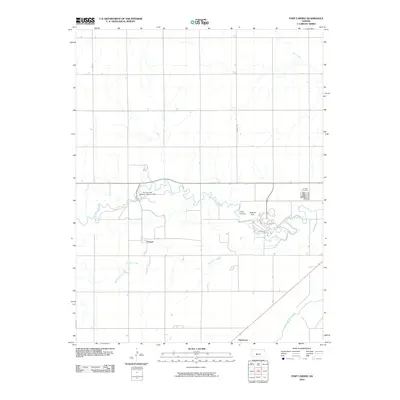
2010 Map of Fort Larned
USGS Topo · Published 2010About this map
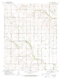
Fort Larned National Historic Site stands as a central landmark in this portion of Pawnee County, preserving the footprint of a key 19th-century military post along the Santa Fe Trail. The landscape is defined by the winding course of the Pawnee River, which meanders eastward toward its eventual confluence with the Arkansas River in the lower portion of the map. This area reflects a traditional Great Plains settlement pattern, where small communities like Frizell and recreational or commemorative sites such as Camp Pawnee and Larned Cemetery are distributed along the riparian corridors and section-line roads. High points like Jenkins Hill provide topographical contrast to the drainage basins of Sawmill Creek and Ash Creek, illustrating how water access and natural elevations influenced the placement of early Kansas outposts and farming developments.
Find a feature on this map
11 named features on this map. Tap any name to fly to it.
Don’t see what you’re looking for? This feature index may not catch every label — zoom into the map to look around manually.
Map Details
Editions of this 2010 Fort Larned Map
This is the sole edition of this map. No revisions or reprints were ever made.
Other maps of this area

1889 · Larned
USGS Topo · 1:125,000

1891 · Larned
USGS Topo · 1:125,000

1955 · Great Bend
USGS Topo · 1:250,000

1957 · Great Bend
USGS Topo · 1:250,000

1958 · Great Bend
USGS Topo · 1:250,000

1970 · Fort Larned
USGS Topo · 1:24,000
1970 · Sanford
USGS Topo · 1:24,000
1970 · Albert SE
USGS Topo · 1:24,000
1970 · Larned
USGS Topo · 1:24,000
1970 · Ash Valley
USGS Topo · 1:24,000