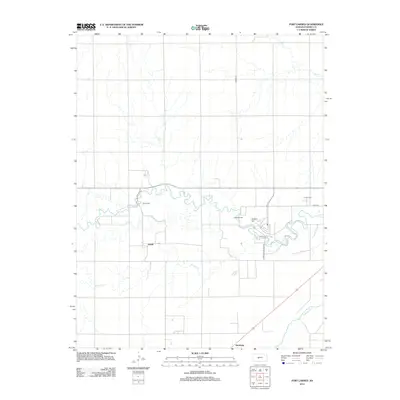
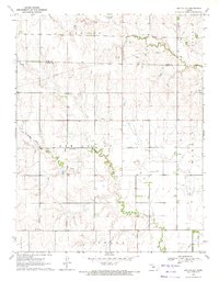
2012 Map of Fort Larned
USGS Topo · Published 2012About this map
Fort Larned sits at the heart of this central Kansas landscape, where the winding course of the Pawnee River meets the flat agricultural plains of Pawnee County. This 2012 survey documents the region's institutional and military legacy, anchored by the expansive grounds of the Larned State Hospital and the nearby Camp Pawnee. The settlement pattern follows the drainage of the river and smaller tributaries like Sawmill Cr, with smaller outposts like Frizell and Hamburg marking the rural intersections.
Find a feature on this map
14 named features on this map. Tap any name to fly to it.
Don’t see what you’re looking for? This feature index may not catch every label — zoom into the map to look around manually.
Map Details
Editions of this 2012 Fort Larned Map
This is the sole edition of this map. No revisions or reprints were ever made.
Other maps of this area

1889 · Larned
USGS Topo · 1:125,000

1891 · Larned
USGS Topo · 1:125,000

1955 · Great Bend
USGS Topo · 1:250,000

1957 · Great Bend
USGS Topo · 1:250,000

1958 · Great Bend
USGS Topo · 1:250,000

1970 · Fort Larned
USGS Topo · 1:24,000
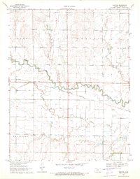
1970 · Sanford
USGS Topo · 1:24,000
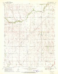
1970 · Albert SE
USGS Topo · 1:24,000
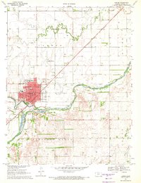
1970 · Larned
USGS Topo · 1:24,000
1970 · Ash Valley
USGS Topo · 1:24,000