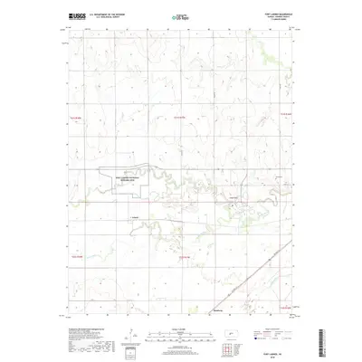
2018 Map of Fort Larned
USGS Topo · Published 2018About this map
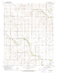
Fort Larned National Historic Site preserves the legacy of a vital military post on the Santa Fe Trail, situated along a prominent bend of the Pawnee River. The surrounding landscape is defined by the high plains of Pawnee County, where the river winds eastward toward a confluence near the Arkansas River in the southeast. This 2018 survey reveals a rural territory marked by small settlements like Frizell and Hamburg, connected by a grid of agricultural roads such as 160th Ave and NE Trail St. The topography is relatively level, interrupted only by subtle features like Jenkins Hill and the drainage of Ash Cr to the north. For genealogists and local historians, the inclusion of the Larned Cem and established township boundaries provides a clear framework for tracing land ownership and community development in this part of Kansas.
Find a feature on this map
20 named features on this map. Tap any name to fly to it.
Don’t see what you’re looking for? This feature index may not catch every label — zoom into the map to look around manually.
Map Details
Editions of this 2018 Fort Larned Map
This is the sole edition of this map. No revisions or reprints were ever made.
Other maps of this area

1889 · Larned
USGS Topo · 1:125,000

1891 · Larned
USGS Topo · 1:125,000

1955 · Great Bend
USGS Topo · 1:250,000

1957 · Great Bend
USGS Topo · 1:250,000

1958 · Great Bend
USGS Topo · 1:250,000

1970 · Fort Larned
USGS Topo · 1:24,000
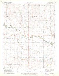
1970 · Sanford
USGS Topo · 1:24,000
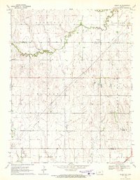
1970 · Albert SE
USGS Topo · 1:24,000
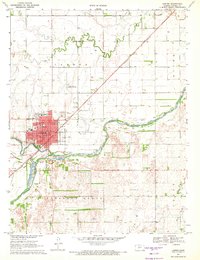
1970 · Larned
USGS Topo · 1:24,000
1970 · Ash Valley
USGS Topo · 1:24,000