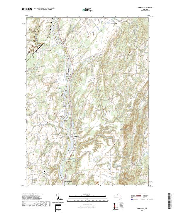
2023 Map of Fort Miller
USGS Topo · Published 2023About this map
The Hudson River serves as the primary artery through this landscape, dividing Washington and Saratoga Counties. The river's path is marked by a series of landforms including Griffin Island, Thompson Island, and Galusha Island, which dictate the local hydrology and historical settlement patterns. To the east, the terrain rises toward Gavettes Mountain and Bald Mountain, while the western banks are characterized by agricultural plains and the drainage of Snook Kill and Pecks Creek.
Find a feature on this map
89 named features on this map. Tap any name to fly to it.
Don’t see what you’re looking for? This feature index may not catch every label — zoom into the map to look around manually.
Map Details
Editions of this 2023 Fort Miller Map
This is the sole edition of this map. No revisions or reprints were ever made.
Other maps of this area

1893 · Fort Ann
USGS Topo · 1:62,500

1895 · Cambridge
USGS Topo · 1:62,500

1895 · Fort Ann
USGS Topo · 1:62,500

1895 · Glens Falls
USGS Topo · 1:62,500

1897 · Glens Falls
USGS Topo · 1:62,500

1898 · Cambridge
USGS Topo · 1:62,500

1898 · Fort Ann
USGS Topo · 1:62,500

1900 · Schuylerville
USGS Topo · 1:62,500

1901 · Fort Ann
USGS Topo · 1:62,500

1901 · Cambridge
USGS Topo · 1:62,500