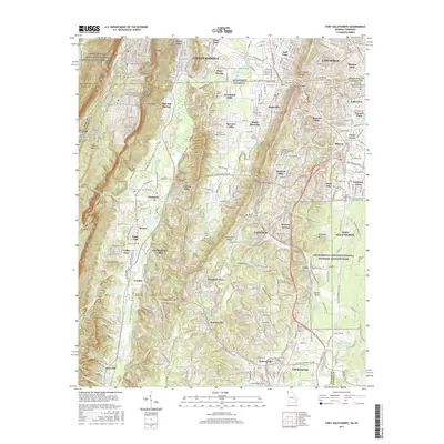
2017 Map of Fort Oglethorpe
USGS Topo · Published 2017About this map
Missionary Ridge and the heights of Lookout Mountain dominate this landscape, which spans the state line between Tennessee and Georgia. The terrain is defined by the sharp elevations of Eagle Cliff and Hawkins Ridge, dropping into the fertile Chattanooga Valley. For historians and genealogists, the map provides precise locations for several significant burial grounds, including the Old Chattanooga Valley Cem, Ellis Family Cem, and the Patrick Cem situated within the federal park boundaries.
Find a feature on this map
88 named features on this map. Tap any name to fly to it.
Don’t see what you’re looking for? This feature index may not catch every label — zoom into the map to look around manually.
Map Details
Editions of this 2017 Fort Oglethorpe Map
This is the sole edition of this map. No revisions or reprints were ever made.
Other maps of this area

1886 · Ringgold
USGS Topo · 1:125,000

1888 · Chattanooga
USGS Topo · 1:125,000

1892 · Ringgold
USGS Topo · 1:125,000

1893 · Chattanooga
USGS Topo · 1:125,000
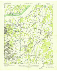
1935 · East Chattanooga
USGS Topo · 1:24,000
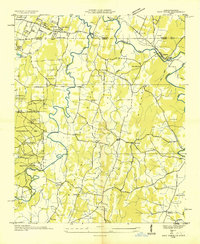
1935 · East Ridge
USGS Topo · 1:24,000
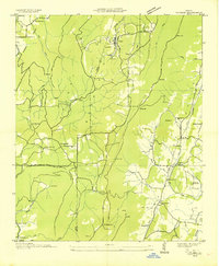
1935 · Durham
USGS Topo · 1:24,000
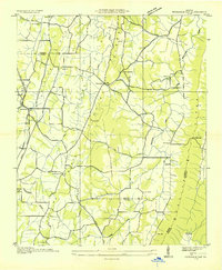
1935 · Nickajack Gap
USGS Topo · 1:24,000
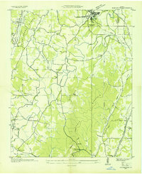
1936 · Kensington
USGS Topo · 1:24,000
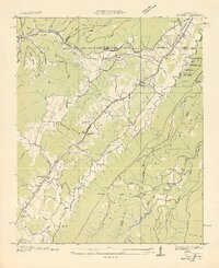
1936 · Hooker
USGS Topo · 1:24,000