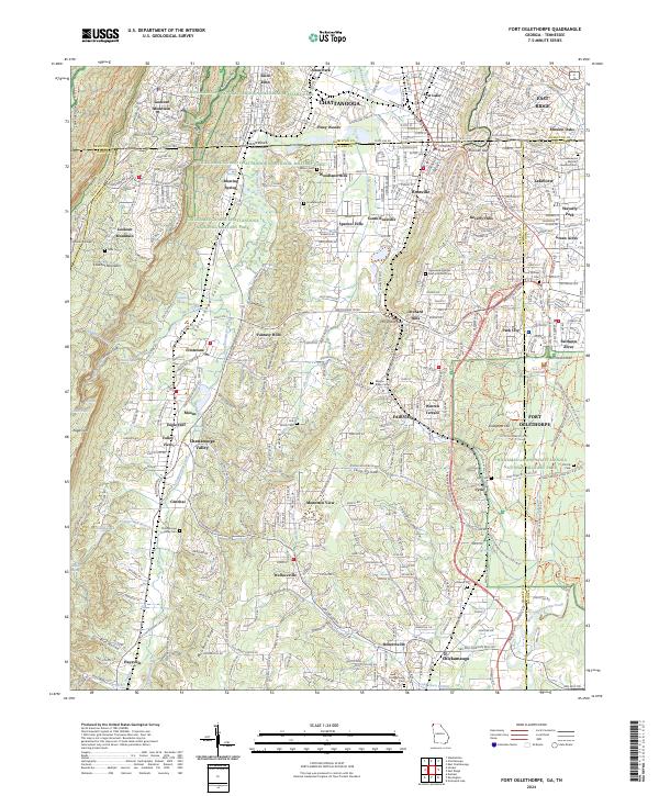
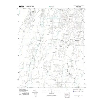
2024 Map of Fort Oglethorpe
USGS Topo · Published 2024About this map
Chickamauga and Chattanooga National Military Park dominates the landscape of this Georgia-Tennessee border region, marking the site of one of the Civil War's most significant western theater conflicts. The map details the complex terrain surrounding Chattanooga, from the heights of Lookout Mountain and Missionary Ridge to the narrow corridors of Chattanooga Valley. This 2024 data showcases how modern suburban developments like Fairlawn Acres and Warren Terrace have integrated with the preserved battlefield grounds.
Find a feature on this map
84 named features on this map. Tap any name to fly to it.
Don’t see what you’re looking for? This feature index may not catch every label — zoom into the map to look around manually.
Map Details
Editions of this 2024 Fort Oglethorpe Map
This is the sole edition of this map. No revisions or reprints were ever made.
Historical Maps of Chattanooga Through Time
10 maps found

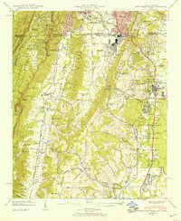
1936 Fort Oglethorpe
Catoosa County, GA
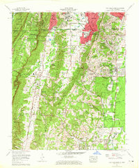
1942 Fort Oglethorpe
Catoosa County, GA
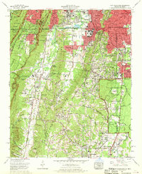
1958 Fort Oglethorpe
Catoosa County, GA
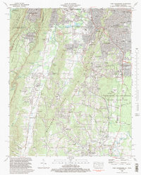
1969 Fort Oglethorpe
Catoosa County, GA
1982 Fort Oglethorpe
Catoosa County, GA
2010 Fort Oglethorpe
Catoosa County, GA
2014 Fort Oglethorpe
Catoosa County, GA

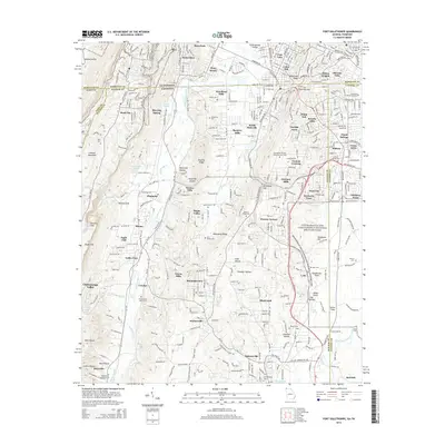
2017 Fort Oglethorpe
Catoosa County, GA
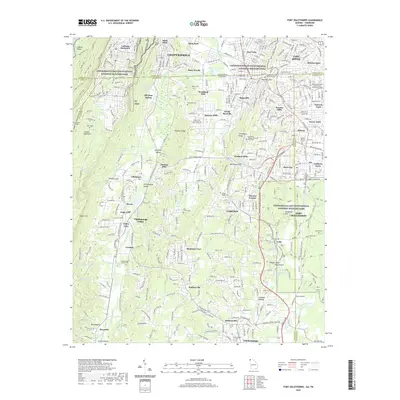
2020 Fort Oglethorpe
Catoosa County, GA
2024 Fort Oglethorpe
Catoosa County, GA