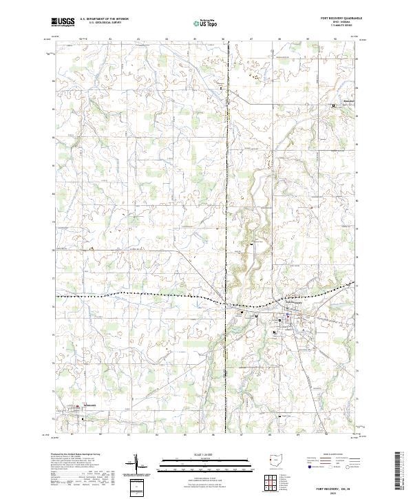
2023 Map of Fort Recovery
USGS Topo · Published 2023About this map
The Wabash River and Salamonie River headwaters define the drainage of this agricultural borderland, where the Ohio Indiana State Line Rd serves as the political and cartographic divide between Mercer County, Ohio, and Jay County, Indiana. Fort Recovery stands as the primary hub of the region, situated along the riverbanks with a concentration of significant local landmarks including the Old Pioneer Cem, Saint Mary Cem, and Green Mound Cem. The landscape is a network of named drainage ditches and creeks, such as Limberlost Creek, Wilson Creek, and Buck Harpsburg Ditch, which support the extensive farming grid.
Find a feature on this map
71 named features on this map. Tap any name to fly to it.
Don’t see what you’re looking for? This feature index may not catch every label — zoom into the map to look around manually.
Map Details
Editions of this 2023 Fort Recovery Map
This is the sole edition of this map. No revisions or reprints were ever made.
Historical Maps of Macedon Through Time
4 maps found