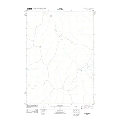
2012 Map of Fort Reno SE
USGS Topo · Published 2012About this map
Drew Ranch anchors a network of ranching roads and water features in this high-plains landscape of Campbell County. The drainage system is defined by Willow Cr and its tributaries, including Little Willow Cr and the N Prong Willow Cr, which carve through the terrain. Significant landforms such as Table Mountain rise above the surrounding draws, including Craney Draw and Heidt Draw, illustrating the complex erosional geography of the region. Water management is evidenced by Streeter Reservoir in the western portion of the quadrangle. This 2012 survey illustrates the enduring patterns of Wyoming's livestock-rearing landscape, where property markers and water sources like Del Gulch dictate the layout of roads and homesteads across the open range.
Find a feature on this map
9 named features on this map. Tap any name to fly to it.
Don’t see what you’re looking for? This feature index may not catch every label — zoom into the map to look around manually.
Map Details
Editions of this 2012 Fort Reno SE Map
This is the sole edition of this map. No revisions or reprints were ever made.
Other maps of this area

1953 · Hoe Ranch
USGS Topo · 1:24,000

1953 · Dry Fork Ranch
USGS Topo · 1:24,000

1953 · Fort Reno
USGS Topo · 1:24,000

1953 · Fort Reno SE
USGS Topo · 1:24,000

1953 · Fats Draw
USGS Topo · 1:24,000

1953 · The Nipple
USGS Topo · 1:24,000

1953 · Rolling Pin Ranch
USGS Topo · 1:24,000

1953 · North Butte
USGS Topo · 1:24,000

1954 · House Creek
USGS Topo · 1:24,000

1955 · Newcastle
USGS Topo · 1:250,000